REGION CARD
Київська область
Kyiv Oblast
Loading regions…
Discover the 24 oblasts, Crimea and two cities with special status. Choose a place to hear its Ukrainian name and explore a little of its history.
Snapshot: 31 October 2026. Approximate reported occupation, not a live front line or a complete map of contested areas. Ukraine is shown within its internationally recognized borders.
Kyiv Oblast
Loading regions…
Boundaries: Ukraine Geo Data. Occupation overlay: DeepState map data archive, 31 October 2026, GPL-3.0. The overlay describes reported Russian-occupied territory; other disputed or active-combat areas may not appear. Kyiv and Sevastopol are city markers, not oblast polygons.
History cards summarize regional context from the Internet Encyclopedia of Ukraine. Historical regions do not always match modern oblast borders. Audio is synthesized Ukrainian speech.
Explore Ukraine’s oblasts, Ukrainian pronunciation and short regional histories on an interactive map.
Explore the history and landmarks of Vinnytsia Oblast with Ukrainian pronunciation and four scenic watercolor illustrations.
Explore the history and landmarks of Volyn Oblast with Ukrainian pronunciation and four scenic watercolor illustrations.
Discover Zhytomyr Oblast through its history, Transfiguration Cathedral in Zhytomyr, pale stone cathedral with dark domes, Ukrainian pronunciation and four scenic watercolor illustrations.
Explore the history and landmarks of Zakarpattia Oblast with Ukrainian pronunciation and four scenic watercolor illustrations.
Explore the history and landmarks of Ivano-Frankivsk Oblast with Ukrainian pronunciation and four scenic watercolor illustrations.
Explore the history and landmarks of Lviv Oblast with Ukrainian pronunciation and four scenic watercolor illustrations.
Discover Rivne Oblast through its history, Ostroh Castle, round stone tower and pale defensive walls on a green rise, Ukrainian pronunciation and four scenic watercolor illustrations.
Discover Ternopil Oblast through its history, Zbarazh Castle, pale symmetrical palace inside angular stone fortifications, Ukrainian pronunciation and four scenic watercolor illustrations.
Explore the history and landmarks of Khmelnytskyi Oblast with Ukrainian pronunciation and four scenic watercolor illustrations.
Explore the history and landmarks of Chernivtsi Oblast with Ukrainian pronunciation and four scenic watercolor illustrations.
Explore the history and landmarks of Dnipropetrovsk Oblast with Ukrainian pronunciation and four scenic watercolor illustrations.
Explore the history and landmarks of Kyiv Oblast with Ukrainian pronunciation and four scenic watercolor illustrations.
Explore the history and landmarks of Kirovohrad Oblast with Ukrainian pronunciation and four scenic watercolor illustrations.
Explore the history and landmarks of Mykolaiv Oblast with Ukrainian pronunciation and four scenic watercolor illustrations.
Explore the history and landmarks of Odesa Oblast with Ukrainian pronunciation and four scenic watercolor illustrations.
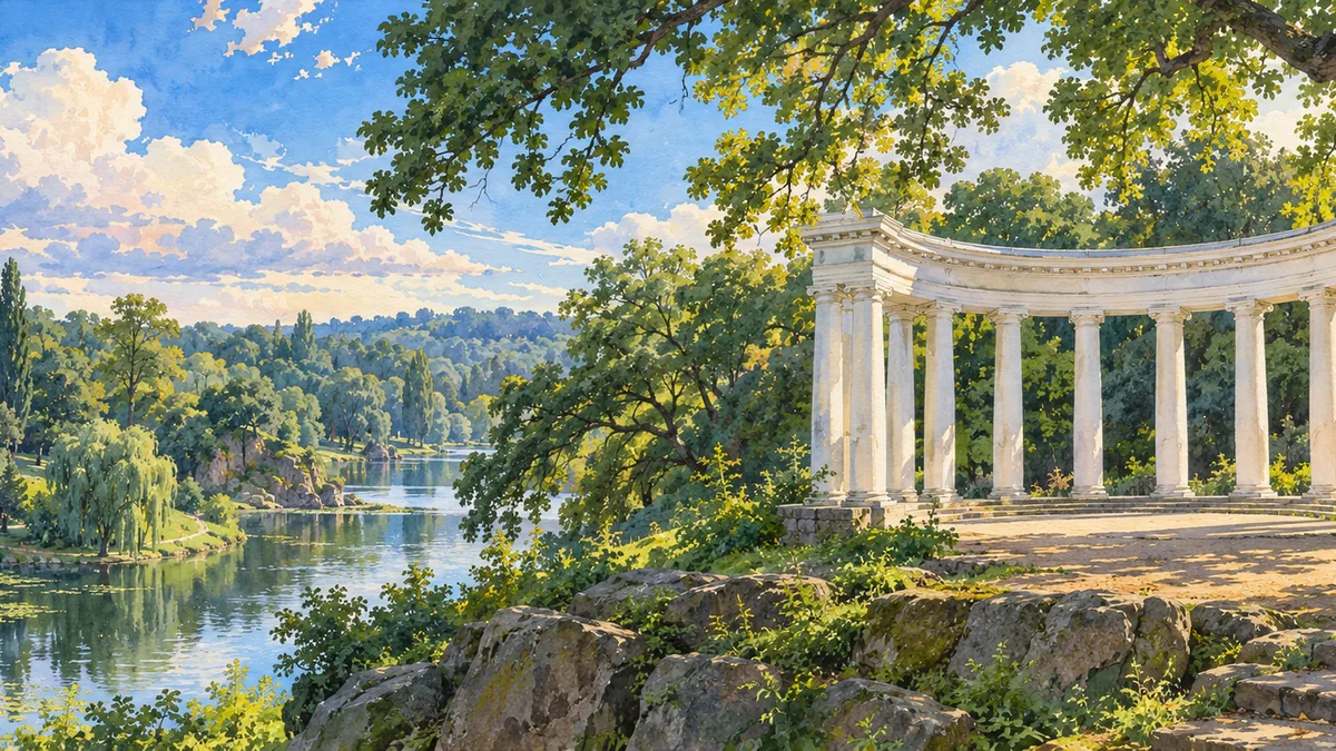
Discover Poltava Oblast through its history, Poltava White Rotunda, white semicircular colonnade above a green hillside, Ukrainian pronunciation and four scenic watercolor illustrations.
Discover Sumy Oblast through its history, Trostianets Round Court, low oval brick courtyard complex with four round towers, Ukrainian pronunciation and four scenic watercolor illustrations.
Explore the history and landmarks of Cherkasy Oblast with Ukrainian pronunciation and four scenic watercolor illustrations.
Explore the history and landmarks of Chernihiv Oblast with Ukrainian pronunciation and four scenic watercolor illustrations.
Explore the history and landmarks of Kyiv city with Ukrainian pronunciation and four scenic watercolor illustrations.
Discover Luhansk Oblast through its history, Derkul stud farm historic arched stables, Ukrainian pronunciation and four scenic watercolor illustrations.
Discover Donetsk Oblast through its history, Sviatohirsk monastery beneath the chalk cliffs, Ukrainian pronunciation and four scenic watercolor illustrations.
Discover Zaporizhzhia Oblast through its history, Reconstructed Cossack Sich on Khortytsia Island, Ukrainian pronunciation and four scenic watercolor illustrations.
Discover Autonomous Republic of Crimea through its history, Bakhchysarai Khan’s Palace courtyard, Ukrainian pronunciation and four scenic watercolor illustrations.
Discover Kharkiv Oblast through its history, Derzhprom complex on Freedom Square, Ukrainian pronunciation and four scenic watercolor illustrations.
Discover Kherson Oblast through its history, Stanislav clay cliffs above the Dnipro–Buh estuary, Ukrainian pronunciation and four scenic watercolor illustrations.
Discover Sevastopol through its history, Ancient Chersonese coastal columns, Ukrainian pronunciation and four scenic watercolor illustrations.
Usage: Much of this oblast belongs to historic Podilia, an agricultural region shaped by trade and changing borders.
Usage: This region formed part of medieval Volhynia, later united with Galicia in the principality of Galicia-Volhynia.
Usage: Coal mining and metalworking transformed this part of the Donets Basin during nineteenth-century industrialization.
Usage: The Dnipro region developed into a major industrial area through iron and manganese mining, metallurgy and engineering.
Usage: The Donets Basin became a major coal and heavy-industry center in the nineteenth century.
Usage: The area connects historic Volhynia with Polisia, a woodland region whose settlements grew along rivers and trade routes.
Usage: Beyond the Carpathians, this borderland was part of Hungary and later Czechoslovakia before joining Soviet Ukraine after World War II.
Usage: The lower Dnipro is associated with the Zaporozhian Cossacks; the region later became an important industrial center.
Usage: Part of historic Galicia, this Carpathian region preserves Hutsul traditions and the legacy of medieval Halych.
Usage: The surrounding Dnipro lands were central to Kyivan Rus. Kyiv city is administered separately from this oblast.
Usage: This central steppe region developed through agricultural settlement and connections between the Dnipro lands and southern Ukraine.
Usage: Crimea is the homeland of the Crimean Tatars and the former center of the Crimean Khanate.
Usage: Historic Galicia became an important center of the modern Ukrainian cultural and political movement.
Usage: The southern steppe developed through agriculture, Black Sea trade and shipbuilding around Mykolaiv.
Usage: Black Sea ports and farming shaped this southern region, connecting the Ukrainian steppe with maritime trade.
Usage: This Left-Bank region was closely associated with the Cossack Hetmanate and later became a center of imperial administration.
Usage: Much of the region belongs to historic Volhynia, whose medieval principalities linked western and central Ukrainian lands.
Usage: Parts of this northeastern region developed through Cossack settlement in Slobidska Ukraine during the seventeenth century.
Usage: The oblast spans historic Podilia and Galicia; its northern Kremenets area has historical ties to Volhynia.
Usage: Seventeenth-century Cossack settlement helped shape Slobidska Ukraine, with Kharkiv becoming a major regional center.
Usage: The lower Dnipro and Black Sea shaped the region through river transport, agriculture and the growth of southern ports.
Usage: Most of this oblast lies in historic Podilia, a borderland shaped by farming, fortified towns and changing rulers.
Usage: The middle Dnipro region is closely associated with Cossack history, including the former hetman capital at Chyhyryn.
Usage: Chernihiv was an important center of medieval Rus; the region also preserves ancient settlements along the Desna.
Usage: Much of the oblast lies in northern Bukovyna, a borderland shaped by Moldavian, Habsburg and Romanian rule.
Usage: Kyiv was a principal center of Kyivan Rus and is the capital of independent Ukraine.
Usage: This Black Sea port developed as a naval base near the ancient settlement of Chersonese.