Kyiv Oblast — History and Landmarks
Київська область

AI-generated watercolor interpretations of real places · AI-generated watercolor heritage illustrations interpret these places; they are not photographs or a record of present-day conditions.
The lands around the capital
Kyiv Oblast surrounds Ukraine’s capital but does not administer Kyiv city, which has a separate status. This distinction is important when reading the map. The oblast brings together Dnipro riverbanks, agricultural districts, towns and northern woodland. Its modern boundaries developed through twentieth-century administrative changes rather than continuing one medieval border unchanged. The oblast was created in 1932 and later lost territory to several neighbouring regions. Its history is therefore best approached through particular places: Pereiaslav, Bila Tserkva and the river settlements each preserve different connections to the larger story of Ukraine. The capital is nearby, but it is not the whole region.
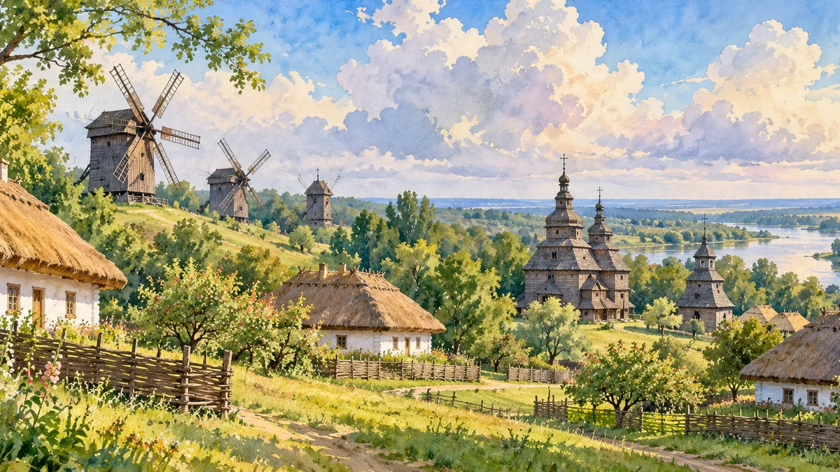
Pereiaslav and the Dnipro world
Pereiaslav was an important town of Kyivan Rus and later a centre of a medieval principality. Its position near the steppe made defence and political negotiation recurring parts of its history. Following destruction in the thirteenth century, the town recovered gradually and became prominent again in the Cossack period. It is associated with the negotiations of 1654, an event whose consequences belong to the broader history of relations between the Cossack state and Muscovy. Surviving later churches, educational buildings and museum collections show that the town’s story continued beyond that single event. Its open-air museum also gives everyday rural buildings a place in historical memory.

Bila Tserkva and a landscape of memory
Bila Tserkva stands on the Ros River at the site of medieval Yuriiv, a fortified settlement associated with Yaroslav the Wise. Its position on a defensive frontier was followed by periods of Lithuanian, Polish and Russian imperial rule. The town also played a role in Cossack uprisings and the struggles surrounding them. Oleksandriia Park gives the region a different visual language: avenues, water, mature trees and architectural garden features. Remembering both the fortified town and the landscaped estate helps prevent a picturesque scene from becoming the entire historical account. Regional identity includes conflict, work, cultural exchange and carefully shaped environments as well as beautiful surviving landmarks.
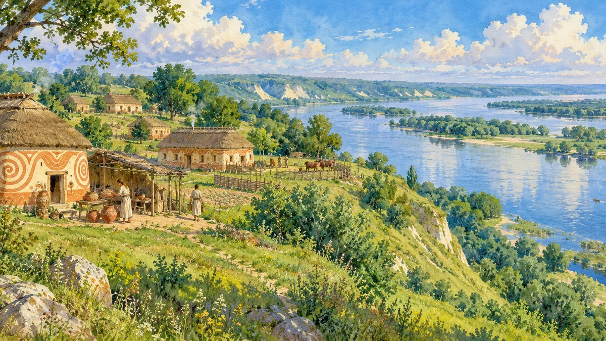
Historical sources & artwork notes
AI-generated watercolor heritage illustrations interpret these places; they are not photographs or a record of present-day conditions.