Zaporizhzhia Oblast — History and Landmarks
Запорізька область
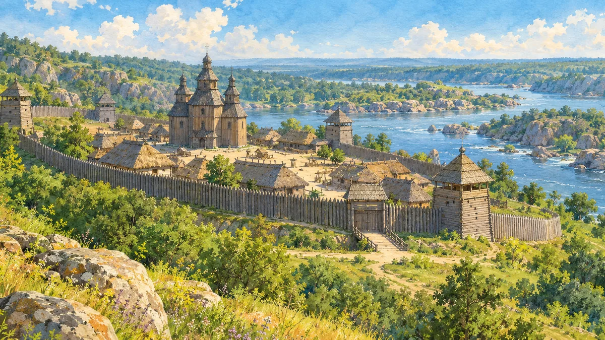
AI-generated watercolor interpretations of real places · Watercolor heritage illustrations interpret these places; they are not photographs or a record of their present condition.
Beyond the rapids
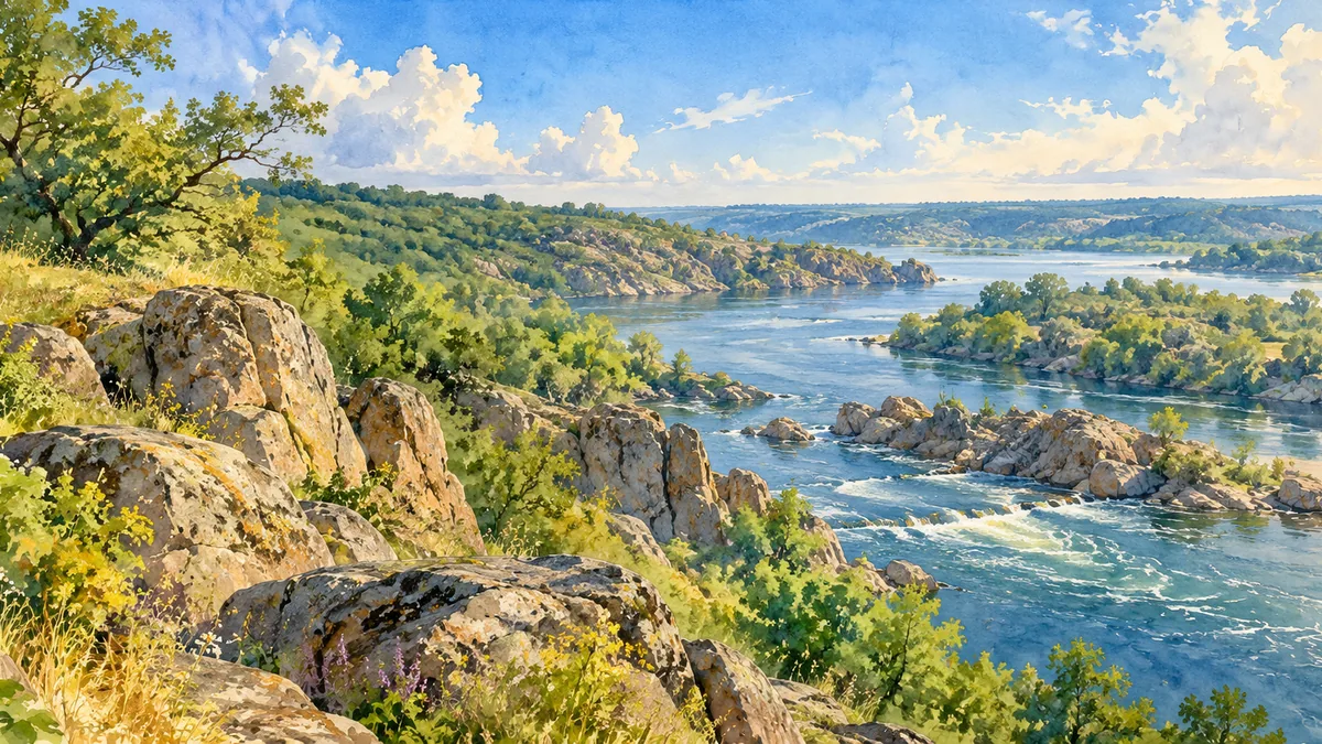
The name Zaporizhzhia refers to lands beyond the Dnipro rapids. It connects the region to the river landscape and to the history of the Zaporozhian Cossacks, whose communities and fortified centers developed in this frontier zone. Khortytsia is the largest island in the Dnipro and an especially important place in that history. Its granite outcrops, wooded areas and open grassland create a distinctive setting within the modern city. The wooden Sich complex shown in the illustration is a reconstruction for interpreting Cossack history, not a surviving sixteenth-century fortress. It offers a visual starting point for learning about communities whose influence extended well beyond today’s oblast boundaries.
Older traces and changing settlements
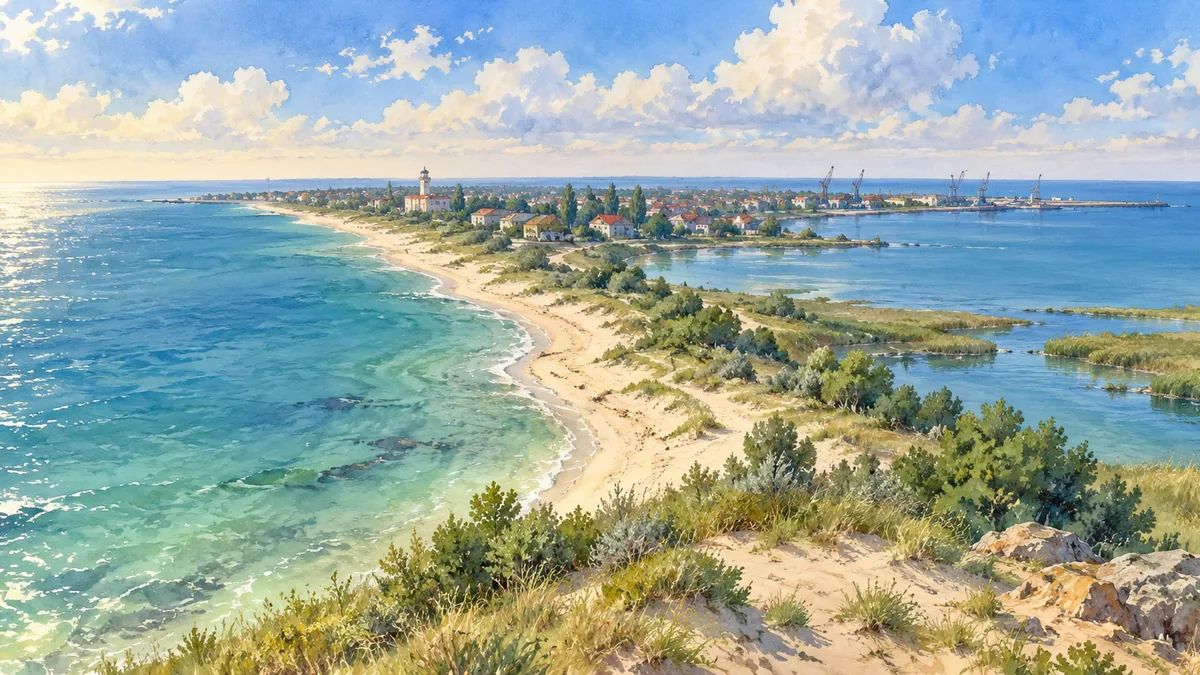
Human activity on Khortytsia long predates the Cossacks. Archaeological discoveries document settlement and ritual activity across different periods, showing that the island’s history cannot be reduced to one era. Farther south, Kamiana Mohyla preserves a remarkable concentration of engravings and images within and beneath sandstone slabs. Its name means Stone Tomb, but the mound is a natural rock formation associated with long histories of human use. The wider region also includes the Molochna valley and the Azov coast around Berdiansk. These landscapes supported different forms of movement, trade and settlement, linking inland steppe routes with the sea and with the river corridor to the north.

The river and the modern city
Modern Zaporizhzhia grew from the settlement of Oleksandrivsk and became a major industrial city. Twentieth-century development around the Dnipro Hydroelectric Station profoundly changed the river and helped support large manufacturing enterprises. Khortytsia remained a place where natural and historical heritage could be studied alongside that industrial landscape. Its reserve received national status in 1993, reflecting its importance to independent Ukraine. The oblast extends far beyond the city, including agricultural areas and coastal communities with their own histories. These watercolor scenes emphasize historical landmarks and landscape character. River conditions, buildings and access have been affected by war, so the images are interpretations rather than a current survey of the region.
Historical sources & artwork notes
Watercolor heritage illustrations interpret these places; they are not photographs or a record of their present condition.