Sevastopol — History and Landmarks
Севастополь
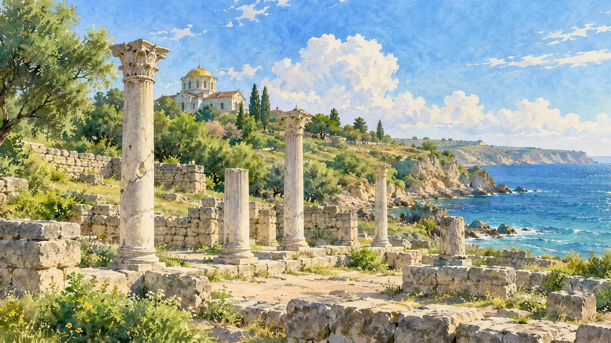
AI-generated watercolor interpretations of real places · Watercolor heritage illustrations interpret these places; they are not photographs or a record of their present condition.
A city older than its modern name
The Sevastopol area contains histories much older than the modern port. Ancient Chersonese was founded by Greek settlers in the fifth century BCE and developed into a long-lived center of exchange on the Black Sea. UNESCO’s World Heritage site includes not only urban ruins but parts of the surrounding agricultural territory, known as the chora. Field divisions, vineyard remains and settlement traces show how the city depended on a productive hinterland. The coastal columns in the illustration are therefore only one visible part of a much wider archaeological landscape. Greek, Roman and Byzantine connections shaped the site across many centuries before the establishment of modern Sevastopol.
A harbor shaped by empires
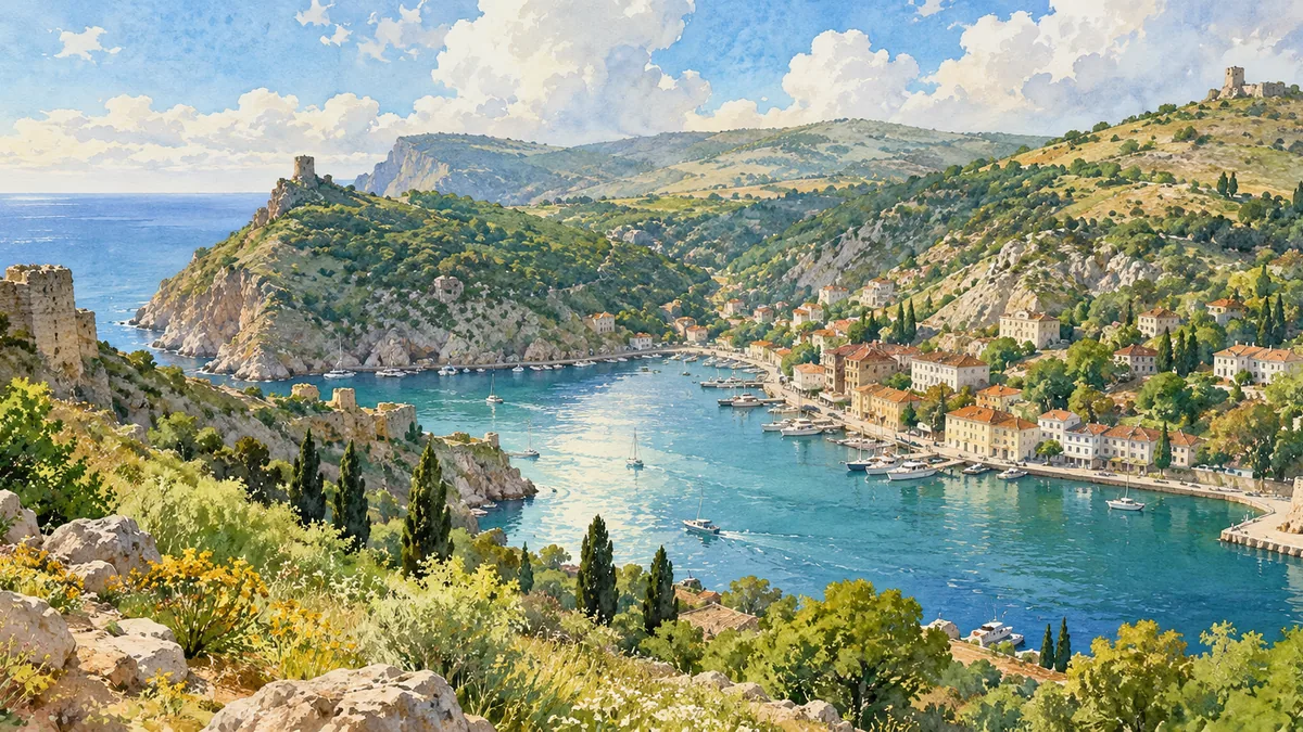
Modern Sevastopol developed after the Russian Empire annexed Crimea in 1783. A naval base was established near the Tatar settlement of Ak-Yar, and the name Sevastopol followed. The harbor’s strategic role made it central to military planning and brought shipbuilding, repair facilities and a growing population. During the Crimean War, the city endured a prolonged siege and extensive destruction. Later reconstruction restored and expanded its naval infrastructure. The region’s history also includes Balaklava and Inkerman, which became part of the city’s larger administrative territory. A view across Balaklava’s narrow bay helps explain why sheltered water and difficult coastal terrain repeatedly influenced settlement and defense here.
Separate status, shared Ukrainian heritage
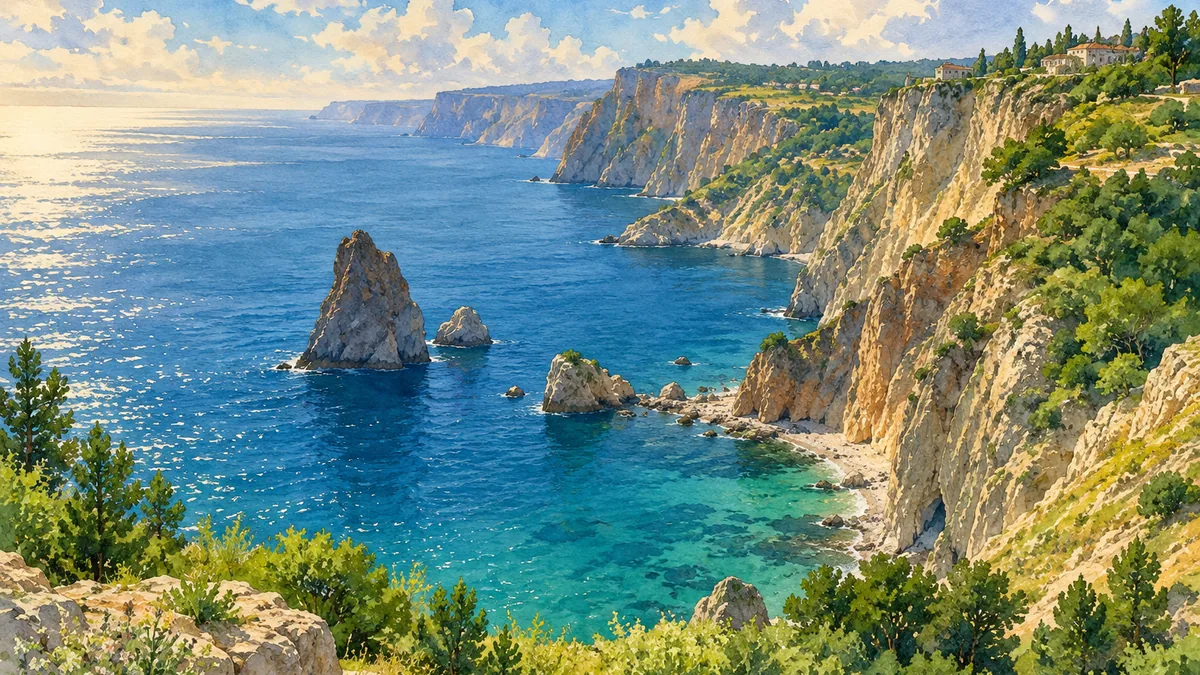
Sevastopol is a city with special status within Ukraine and is administered separately from the Autonomous Republic of Crimea. The distinction is important even though both lie on the same peninsula. Its heritage includes archaeological remains, maritime history, religious monuments and dramatic coastal landscapes such as Cape Fiolent. Russia occupied Sevastopol along with Crimea in 2014; that occupation does not change the city’s internationally recognized place within Ukraine. This page uses historical interpretation to connect the Ukrainian place name with recognizable locations. The watercolor scenes are not documentary images of present conditions. They invite attention to the area’s layered history without reducing it solely to a naval base or to one imperial narrative.
Historical sources & artwork notes
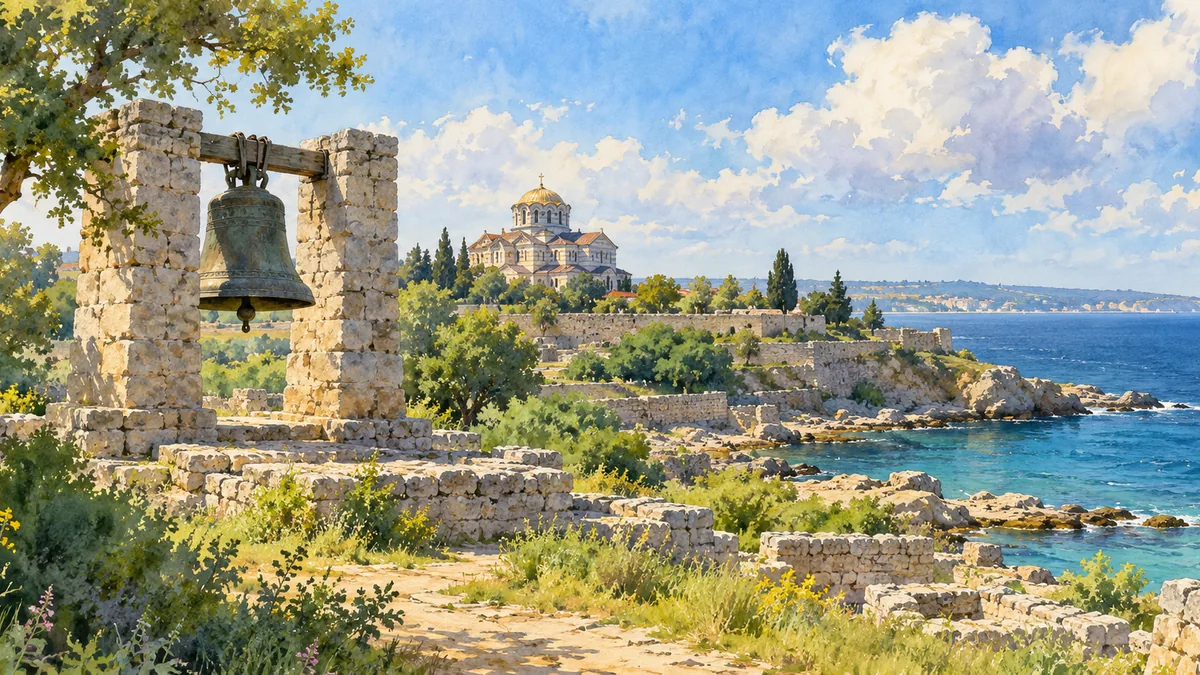
Watercolor heritage illustrations interpret these places; they are not photographs or a record of their present condition.