Mykolaiv Oblast — History and Landmarks
Миколаївська область
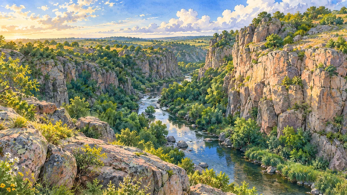
AI-generated watercolor interpretations of real places · AI-generated watercolor heritage illustrations interpret these places; they are not photographs or a record of present-day conditions.
Estuaries and ancient connections
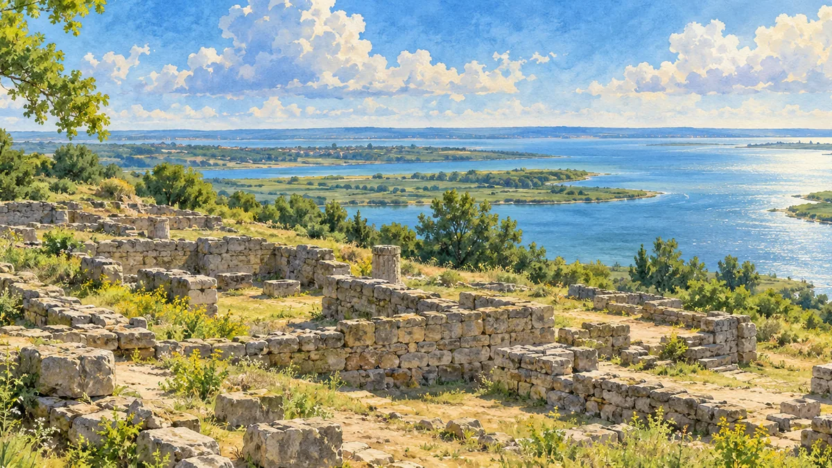
Mykolaiv Oblast opens toward the Black Sea through rivers and estuaries. At Olbia, near present-day Parutyne, Greek settlers established a town in the early sixth century BCE. Its harbour and surrounding farmland supported trade with Mediterranean communities and the peoples of the steppe. Grain, livestock, fish, crafted goods and imported products moved through this connected world. The surviving archaeological site is a reminder that southern Ukraine’s history began long before modern ports or imperial shipyards. Low stone foundations now require imagination, but they mark an organized urban community with public spaces, homes, religious buildings and a commercial life tied closely to water.
A port shaped by shipbuilding
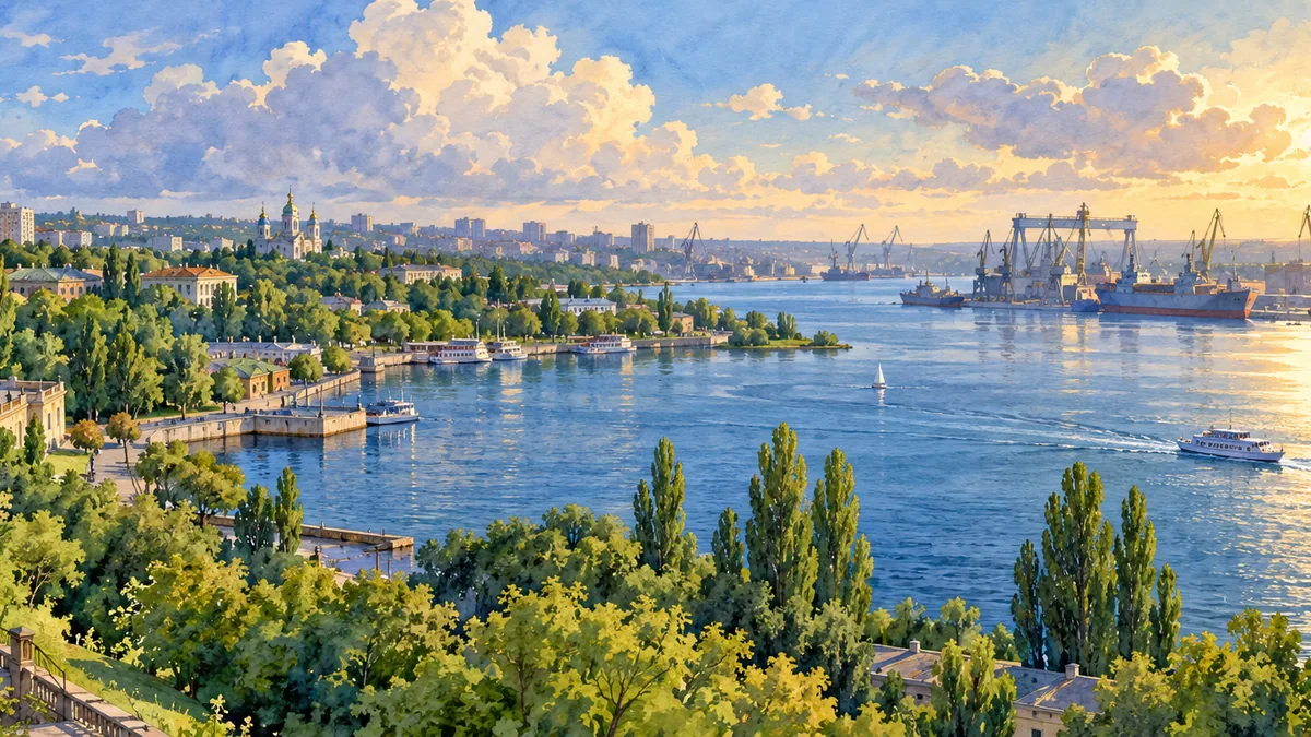
Mykolaiv city developed around late-eighteenth-century fortifications and a shipbuilding wharf at the meeting of the Southern Buh and Inhul rivers. Naval construction shaped its early growth, while commercial shipping, railways and other industries later broadened its economy. Its river setting was therefore more than scenery: it influenced the work people did and the connections the city maintained. The city became the centre of Mykolaiv Oblast in 1937. War and reconstruction also left deep marks on its urban history. Looking across the waterfront toward shipyard structures gives a sense of the relationship between engineering, labour and the particular geography of this place.
Reading the landscape alongside the buildings
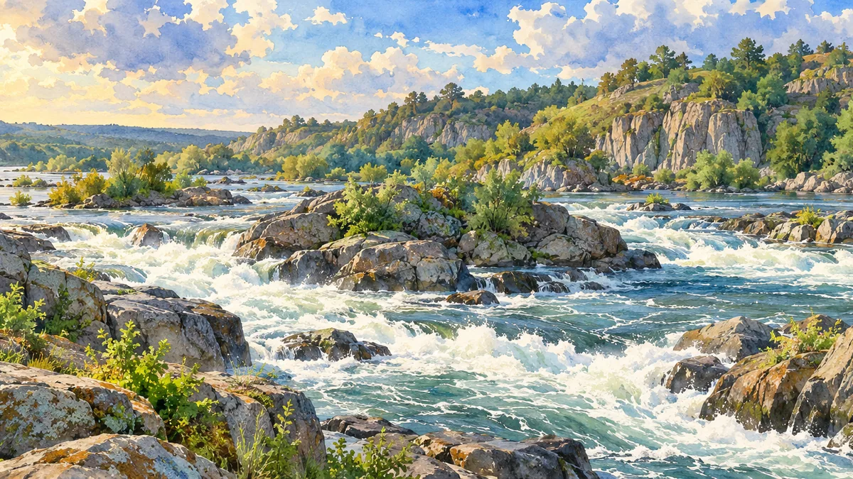
The region’s history is easier to understand when the city and countryside are considered together. Mykolaiv’s older observatory, churches and naval buildings reflect different aspects of its institutional life, while the river valleys show the physical setting that made settlement and movement possible. Aktove Canyon and the Southern Buh’s rocky stretches offer a strong visual contrast with the wide estuary. A scenic illustration cannot document every change to these places; it is a way to recognize their forms and attach a name to them. The combination of ancient Olbia and the later shipbuilding city illustrates how successive communities made different uses of a connected southern landscape.
Historical sources & artwork notes
AI-generated watercolor heritage illustrations interpret these places; they are not photographs or a record of present-day conditions.