Khmelnytskyi Oblast — History and Landmarks
Хмельницька область
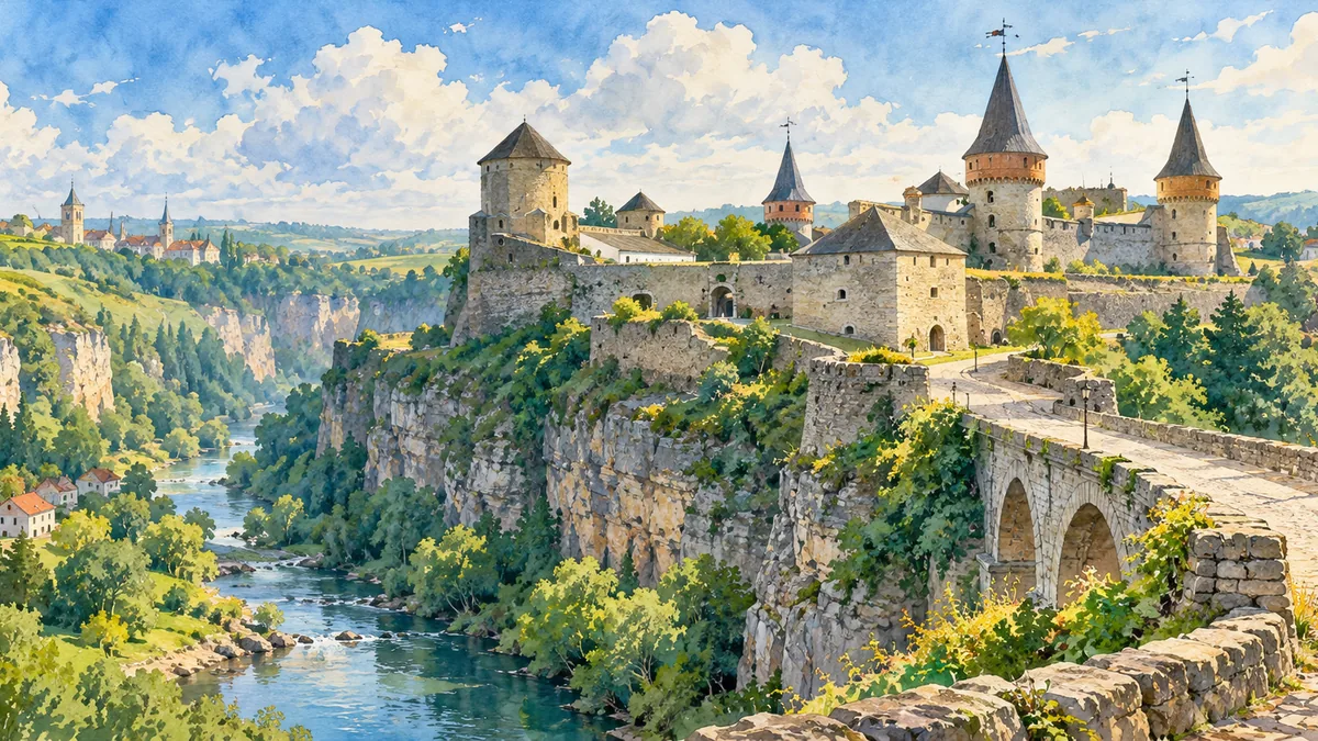
AI-generated watercolor interpretations of real places · AI-generated watercolor heritage illustrations interpret these places; they are not photographs or a record of present-day conditions.
Podilia and its changing centres
Khmelnytskyi Oblast is closely associated with Podilia, although its northern areas also connect with historical Volhynia. The modern regional capital was formerly called Proskuriv and received its present name in 1954, in honour of Bohdan Khmelnytsky. Earlier records also use the name Ploskyriv. These changes are useful clues when reading maps or family histories: a different name may describe the same place in another period. The city developed from a fortified outpost and market centre into a railway and industrial hub. Its modern administrative importance should be distinguished from the older prominence of Kamianets-Podilskyi, which long served as one of Podilia’s principal centres.
Kamianets and the canyon fortress
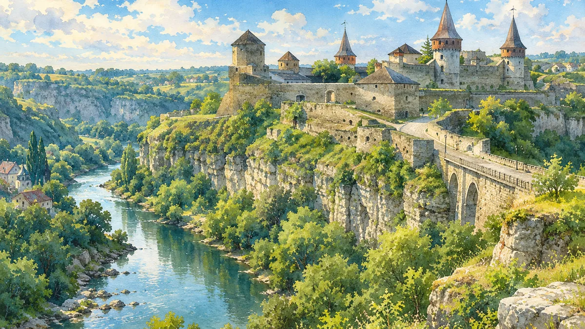
Kamianets-Podilskyi’s Old Castle is one of Ukraine’s most recognizable fortified landscapes. The city’s setting within a loop of the Smotrych River made the canyon a powerful natural element in its defence. Towers, walls and the approach across the gorge form the main image here. Yet the town’s importance extended beyond military architecture. It was also a place of religious institutions, education, publishing and cultural activity. In 1918 a Ukrainian state university was established there, and during the struggle for independence the city at times hosted Ukrainian governments. Those civic and educational histories provide an important counterpart to the dramatic fortress silhouette that dominates many pictures.
River landscapes and remembered settlements
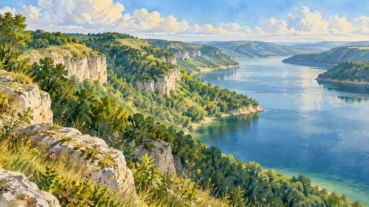
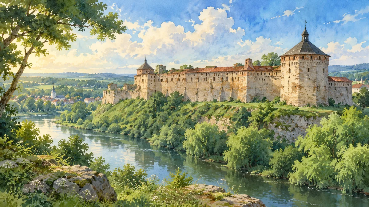
The cliffs at Bakota, the fortress at Medzhybizh and the Smotrych canyon show three different aspects of the oblast. Bakota’s broad waterside landscape reminds us that a beautiful view may also contain a history of environmental change and lost settlement. Medzhybizh connects fortified architecture with another river junction and with the long history of communities living in Podilia. The Smotrych scene makes the geological setting of Kamianets easier to understand. These places belong to a region repeatedly reshaped by war, imperial borders and twentieth-century state projects. Its history includes the destruction of Jewish communities in the Holocaust as well as postwar rebuilding. Scenic illustrations can help locate these stories, but they cannot replace the experiences of the people who lived through them.
Historical sources & artwork notes
AI-generated watercolor heritage illustrations interpret these places; they are not photographs or a record of present-day conditions.