Donetsk Oblast — History and Landmarks
Донецька область
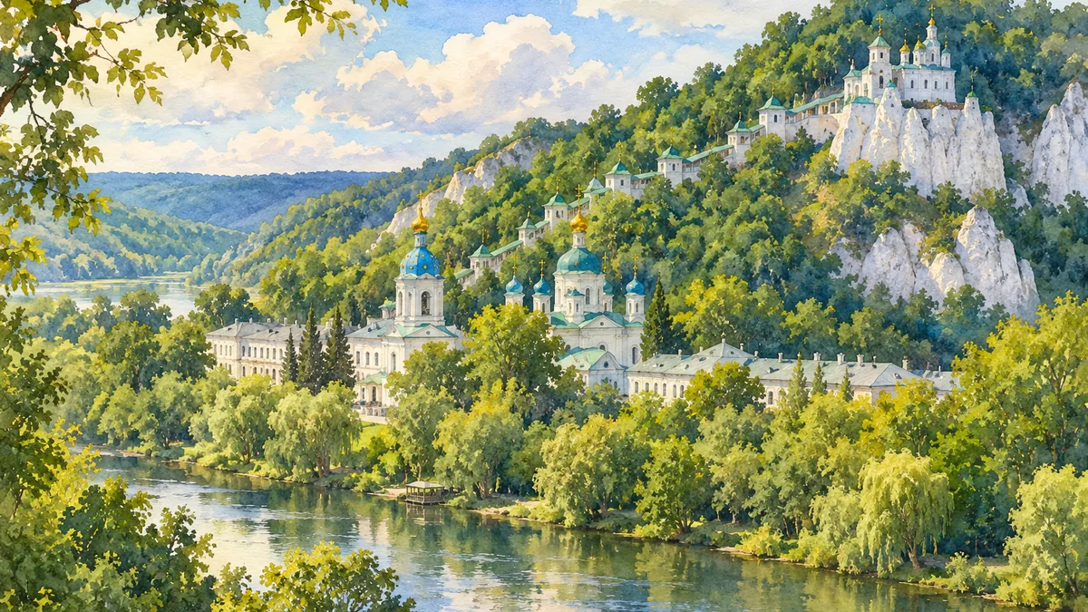
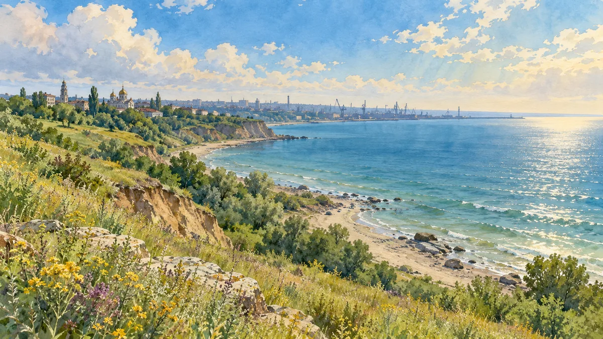
AI-generated watercolor interpretations of real places · Watercolor heritage illustrations interpret these places; they are not photographs or a record of their present condition.
Rivers, steppe and the sea
Donetsk Oblast brings together landscapes that are often hidden behind its industrial reputation. In the north, the Siverskyi Donets winds through wooded valleys and chalk hills. Farther south, rolling steppe reaches the Sea of Azov. The Donets Ridge, river ravines and the Azov Upland give the region more variety than a flat map suggests. Sviatohirsk’s monastery and chalk escarpment show one side of that heritage; the granite outcrops at Kamiani Mohyly show another. The latter reserve was established in 1927 to protect a distinctive rocky steppe environment. These places help explain why the region’s identity includes nature, pilgrimage and coastal life alongside mines and factories.

An industrial city takes shape
Donetsk city grew from the industrial settlement of Yuzivka, established in 1869 around an ironworks associated with the Welsh entrepreneur John Hughes. Coal deposits, new railway connections and investment in machinery supported rapid expansion. Workers and specialists arrived from different places, creating an urban society closely tied to production and transport. The city’s successive names—Yuzivka, Staline or Stalino, and Donetsk—reflect changing political periods. Industrial development also brought unequal living conditions: managers’ neighborhoods and workers’ housing differed sharply. Understanding this history means seeing both engineering achievements and the lives of the people whose labor made them possible, rather than reducing the region to a collection of industrial symbols.
Culture and heritage under pressure
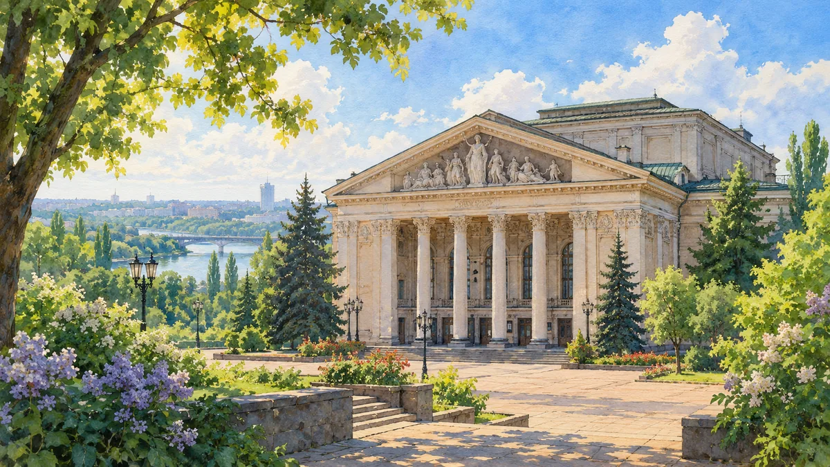
The city and the oblast should not be confused: Donetsk Oblast also includes many towns, rural communities and the Azov coast. Cultural institutions such as the opera house became part of urban life, while Sviatohirsk developed as a religious and recreational center. During the war beginning in 2014, Ukraine’s regional administration moved first to Mariupol and then to Kramatorsk. The full-scale invasion deepened the destruction and displacement experienced across the region. The peaceful scenes on this page are heritage interpretations, including pre-war views where appropriate. They should be read as introductions to places and their history, not as evidence of their current condition or accessibility.
Historical sources & artwork notes
Watercolor heritage illustrations interpret these places; they are not photographs or a record of their present condition.