Autonomous Republic of Crimea — History and Landmarks
Автономна Республіка Крим
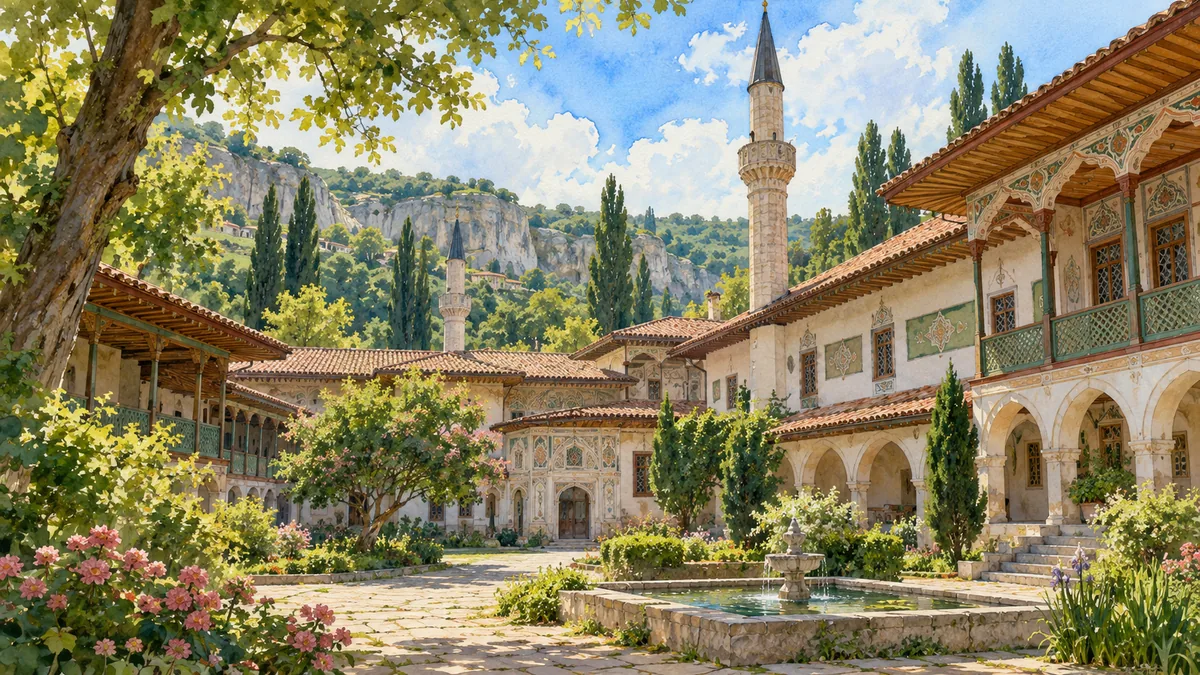
AI-generated watercolor interpretations of real places · Watercolor heritage illustrations interpret these places; they are not photographs or a record of their present condition.
A peninsula of connected landscapes
Crimea combines northern steppe, a mountain belt and a narrow southern coastal zone. Those contrasting landscapes helped create different patterns of farming, settlement and exchange. The peninsula’s history includes ancient Greek settlements, medieval trading networks and the emergence of the Crimean Khanate. It has never been the story of only one community. Crimean Tatars, Greeks, Armenians, Jews, Ukrainians and others have contributed to its cultural life across different periods. The Autonomous Republic of Crimea is part of Ukraine; Sevastopol is a separate city with special status and has its own page here. This distinction matters when matching historical places to the administrative units on the map.
The Crimean Tatar capital
Bakhchysarai became the political and cultural center of the Crimean Khanate. The Khan’s Palace is an especially important expression of Crimean Tatar architectural heritage, with courtyards, residential spaces, religious buildings and decorative traditions that belong to the life of the court. UNESCO’s tentative-list documentation considers the palace together with its historical surroundings, rather than as an isolated monument. The setting helps explain the relationship between the rulers, the town and neighboring communities. A watercolor of the palace should therefore be understood as an introduction to a living cultural inheritance. It is not simply an exotic backdrop, and its significance cannot be replaced by the better-known coastal resort images of the peninsula.
Empire, displacement and memory
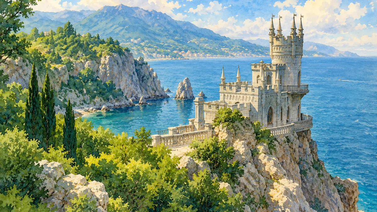
Russia annexed the Crimean Khanate in 1783, bringing major changes in administration, landholding and settlement. Imperial residences and later resorts transformed parts of the southern coast, while many Crimean Tatars left the peninsula under pressure. The Soviet deportation of Crimean Tatars in 1944 caused another profound rupture; return and cultural renewal became central concerns in later decades. Russia’s occupation and attempted annexation in 2014 are not recognized as changing Ukraine’s sovereignty over Crimea. The scenic illustrations on this page represent heritage and landscape, not present-day access or conservation conditions. Learning the history alongside the images helps keep the peninsula’s many communities, especially its indigenous Crimean Tatar heritage, in view.
Historical sources & artwork notes
Watercolor heritage illustrations interpret these places; they are not photographs or a record of their present condition.