Chernihiv Oblast — History and Landmarks
Чернігівська область
AI-generated watercolor interpretations of real places · AI-generated watercolor heritage illustrations interpret these places; they are not photographs or a record of present-day conditions.
A northern landscape with deep roots
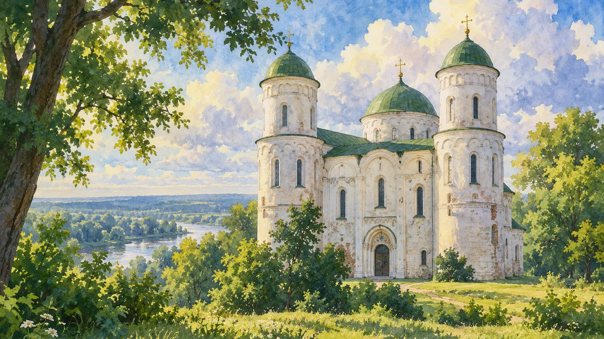
Chernihiv Oblast belongs to northern Ukraine, where river valleys, woodland and open fields form a varied landscape. Its modern administrative boundaries were established through twentieth-century changes, including the creation of Sumy Oblast from eastern districts. The region’s earlier history reaches far beyond these divisions. Chernihiv was a major centre in the world of Kyivan Rus, and its surviving medieval churches make that period unusually visible. The Transfiguration Cathedral is one of the most recognizable monuments associated with this heritage. It offers a starting point for learning the oblast, but the wider region also includes later Cossack centres, estate landscapes and towns along the Desna and its tributaries.
Baturyn and the fate of the Hetmanate
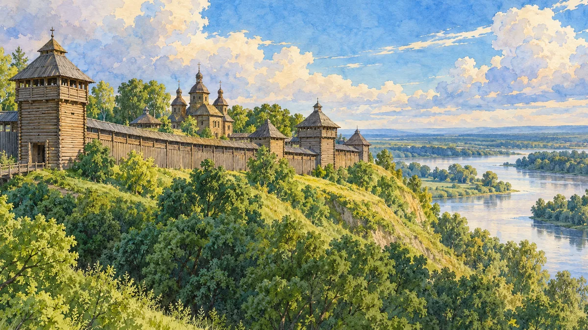
Baturyn became an important capital of the Cossack Hetmanate. Its history is inseparable from the political struggles surrounding Ukrainian autonomy and relations with neighbouring powers. The destruction of the town in 1708 left a particularly deep mark on its historical memory. Archaeological work has helped recover evidence of buildings, daily life and the town’s violent end during that period. Present-day reconstructions interpret some of that evidence for visitors, so they should be distinguished from untouched surviving seventeenth-century structures. A picture of the timber citadel is therefore an introduction to a historical site and its reconstruction, not a literal view of a building preserved unchanged through every century.
Reading churches, palaces and rivers together
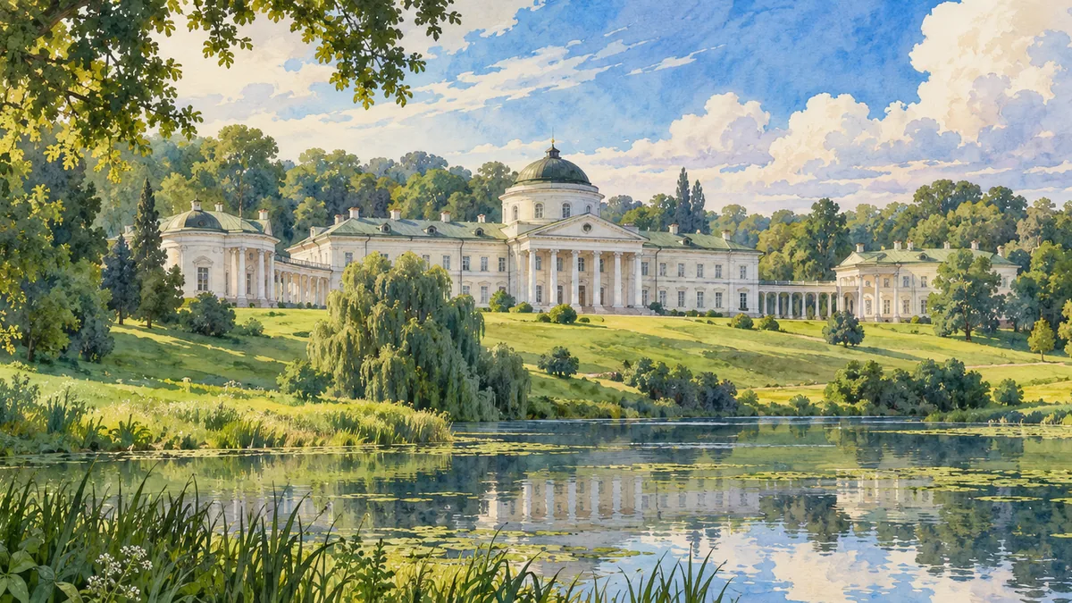
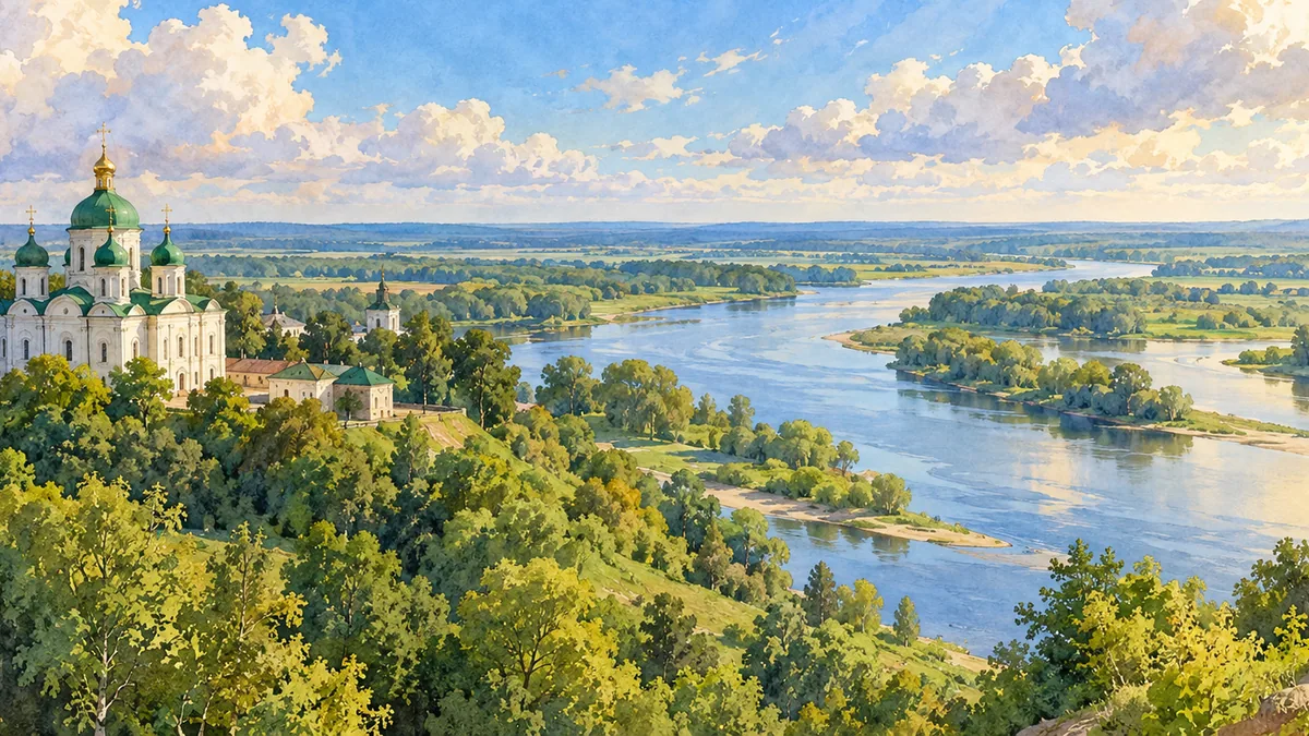
The region’s different landscapes help explain the many scales at which history can be experienced. Medieval religious buildings recall princely patronage and artistic traditions. Baturyn introduces Cossack government and the consequences of conflict. Kachanivka’s palace and park represent the estate culture of a later period, while the Desna floodplain supplies a broader geographical setting. Rivers linked communities and supported livelihoods long before modern administrative borders were drawn. These scenes should be read as complementary rather than competing symbols. Together they make Chernihiv Oblast recognizable as a region with medieval, Cossack, rural and cultural histories, instead of reducing it to one cathedral or one episode of destruction.
Historical sources & artwork notes
AI-generated watercolor heritage illustrations interpret these places; they are not photographs or a record of present-day conditions.