Kherson Oblast — History and Landmarks
Херсонська область
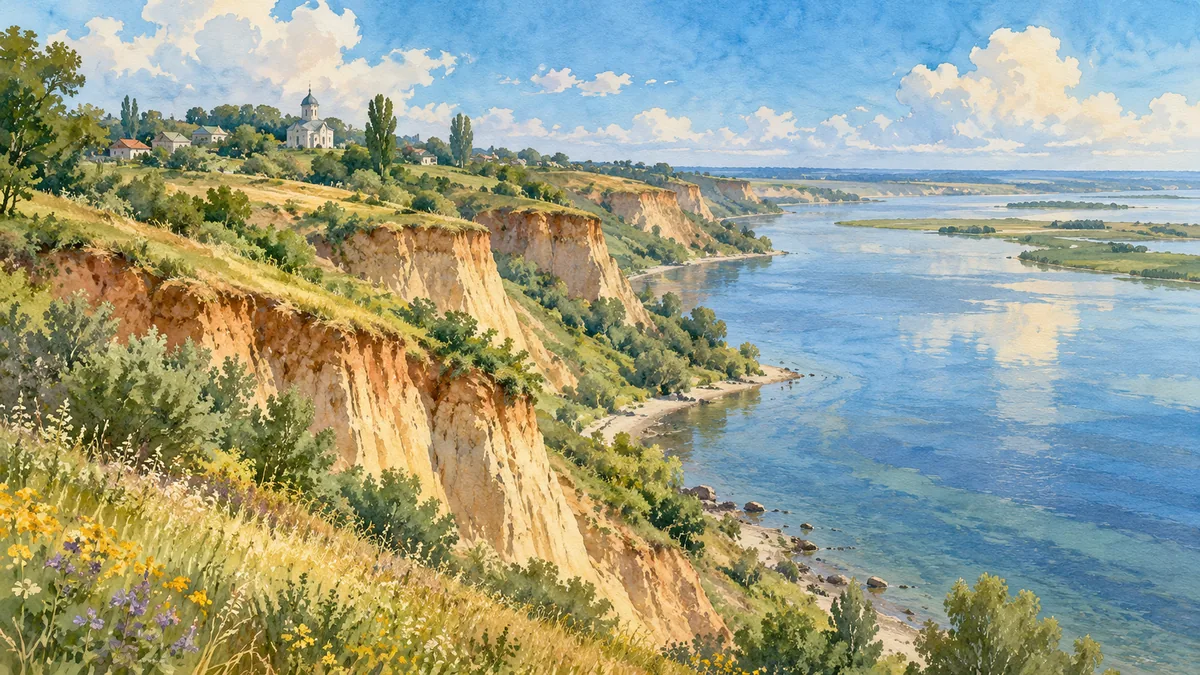
AI-generated watercolor interpretations of real places · Watercolor heritage illustrations interpret these places; they are not photographs or a record of their present condition.
Where the river meets the sea
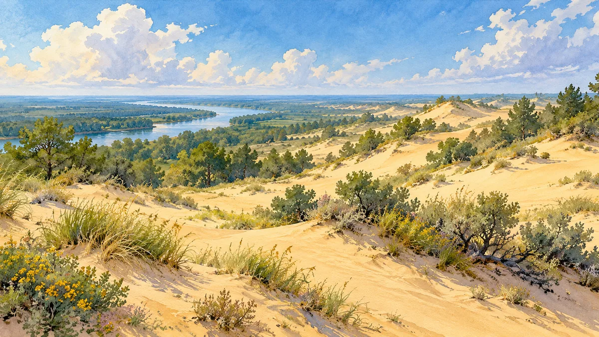
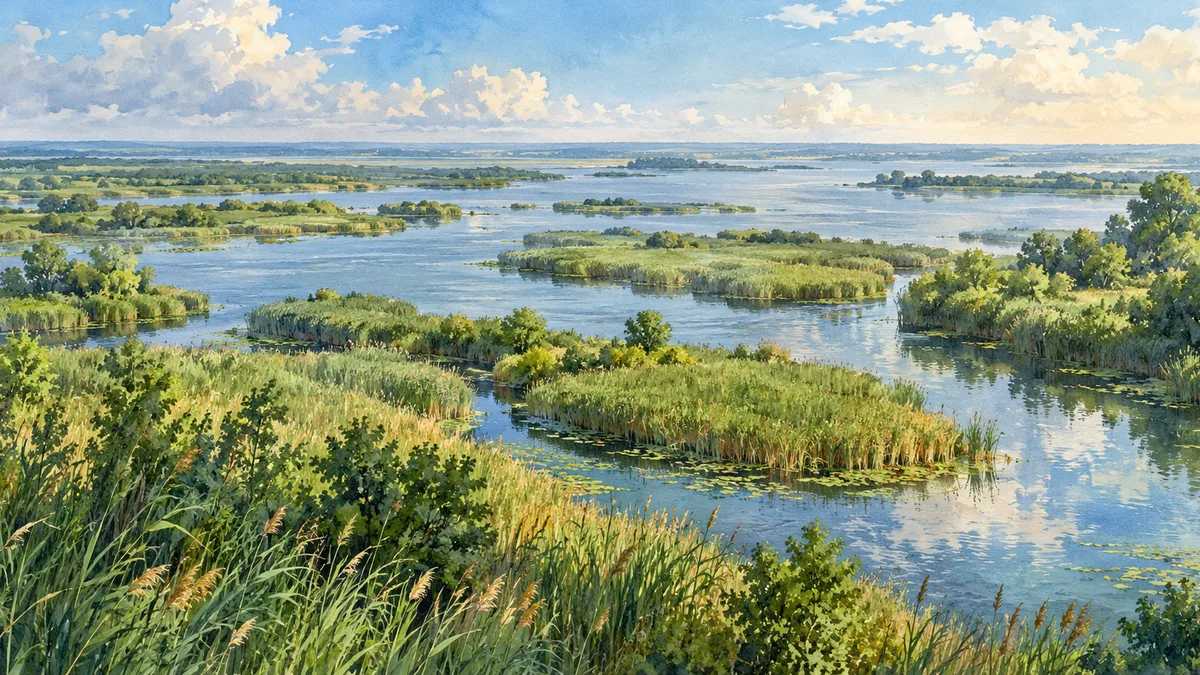
Kherson Oblast lies around the lower Dnipro, where river channels, estuaries, coastal shallows and dry steppe meet. Its landscapes include the elevated, eroded banks near Stanislav, sandy terraces on the left bank, and wetlands closer to the river mouth. The present oblast was established in 1944, but settlement and exchange in this area reach back far earlier. Archaeological evidence records prehistoric communities, while the Black Sea coast linked steppe societies with ancient Greek settlements. The river was both a route and a resource. Reading the region through its water and landforms helps explain why farming, fishing, shipping and conservation all became important parts of its identity.
A port and a changing southern frontier
The modern city of Kherson developed in the late eighteenth century as a fortified port and shipbuilding center under the Russian Empire. Its location near the Dnipro–Buh estuary connected inland routes with the Black Sea. This imperial city followed a much longer regional history involving steppe peoples, medieval trade, the Crimean Khanate, Ottoman power and Cossack communities. The nearby history of Oleshky, including the eighteenth-century Cossack Sich, is part of that broader setting. Kherson city and Kherson Oblast are therefore different scales of the story: the city is one important center within a region whose communities and landscapes cannot be reduced to the port alone.
Natural heritage and its vulnerability
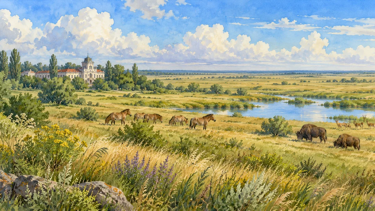
Askania-Nova preserves a distinctive area of steppe in a surrounding landscape extensively used for agriculture. UNESCO’s biosphere-reserve description emphasizes both the conserved grassland and the long tradition of scientific research there. Oleshky Sands and the Lower Dnipro wetlands protect very different habitats, demonstrating the region’s ecological range. War has had severe consequences for these landscapes and for the people who care for them. The destruction of the Kakhovka dam in June 2023 caused catastrophic flooding downstream and major changes to water systems. The paintings on this page present heritage landscapes rather than current environmental surveys. Their calm appearance does not imply that the places are unchanged or accessible.
Historical sources & artwork notes
Watercolor heritage illustrations interpret these places; they are not photographs or a record of their present condition.