Luhansk Oblast — History and Landmarks
Луганська область
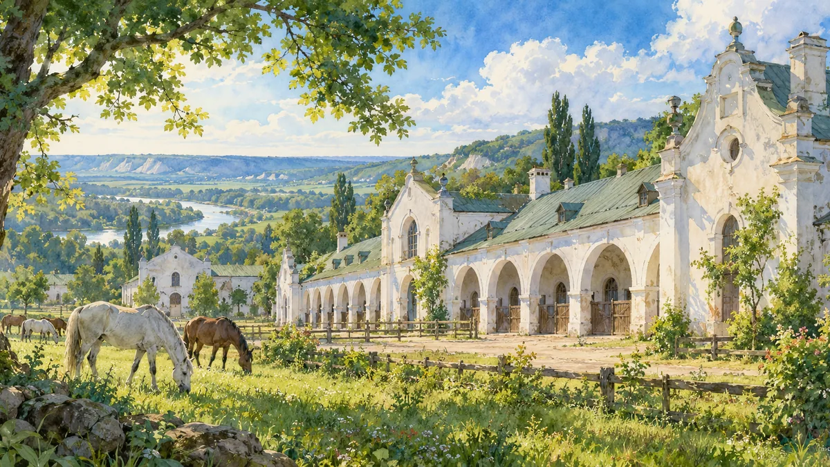
AI-generated watercolor interpretations of real places · Watercolor heritage illustrations interpret these places; they are not photographs or a record of their present condition.
A landscape beyond the mines
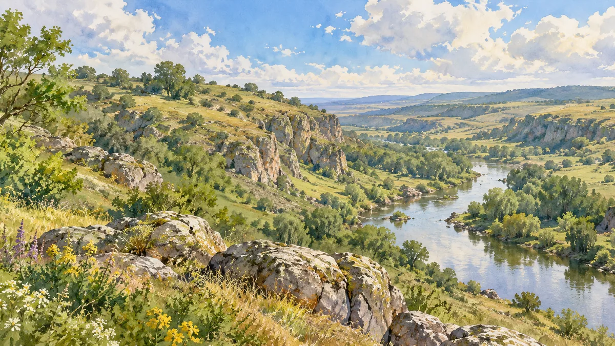
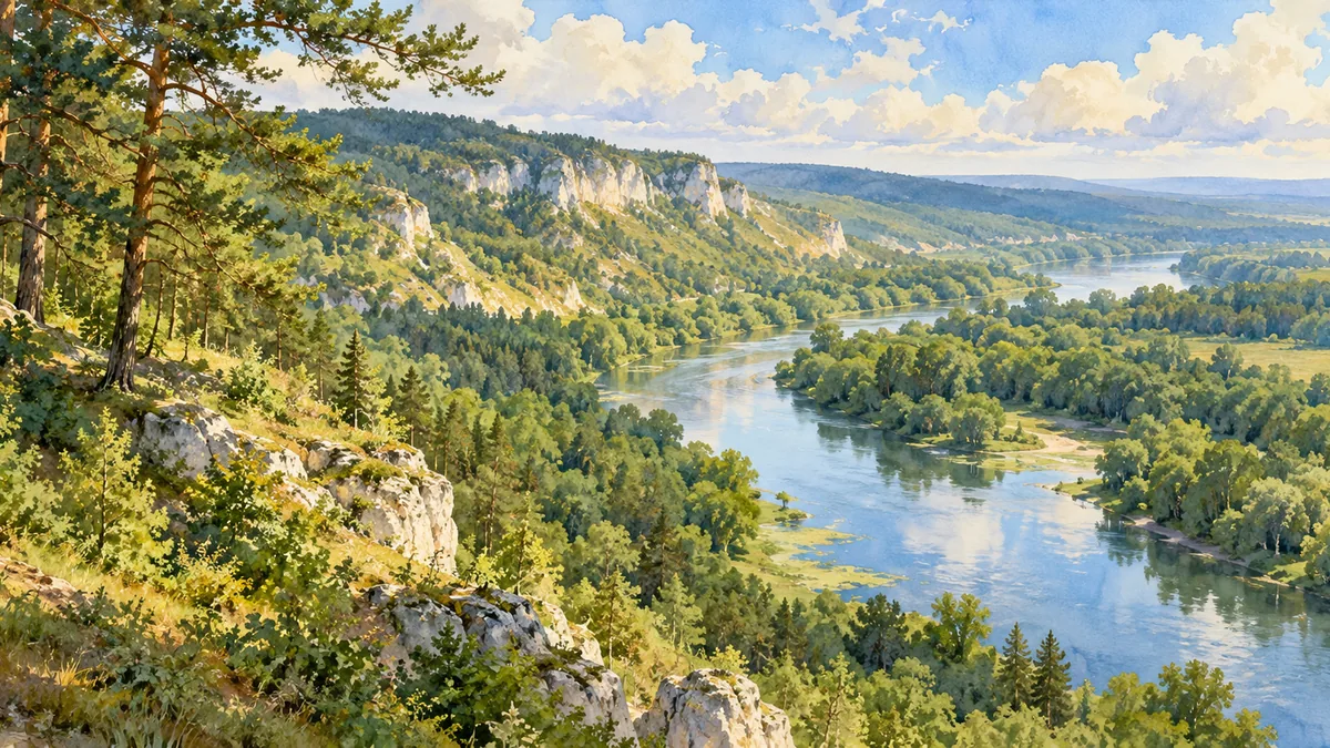
Luhansk Oblast occupies Ukraine’s eastern borderland, where broad agricultural plains meet the more rugged Donets Ridge. The Siverskyi Donets is a useful way to understand this geography: north of the river are rolling plains and tributary valleys, while the southern landscape rises into ridges and ravines. These differences helped shape settlement, transport and livelihoods. Farming communities, horse-breeding estates and river settlements are as much part of the region’s story as coal mines. The modern oblast is an administrative territory, not a single historical or cultural landscape; the term Donbas describes a wider region whose boundaries do not coincide exactly with those of Luhansk Oblast.
Horses, foundries and railways
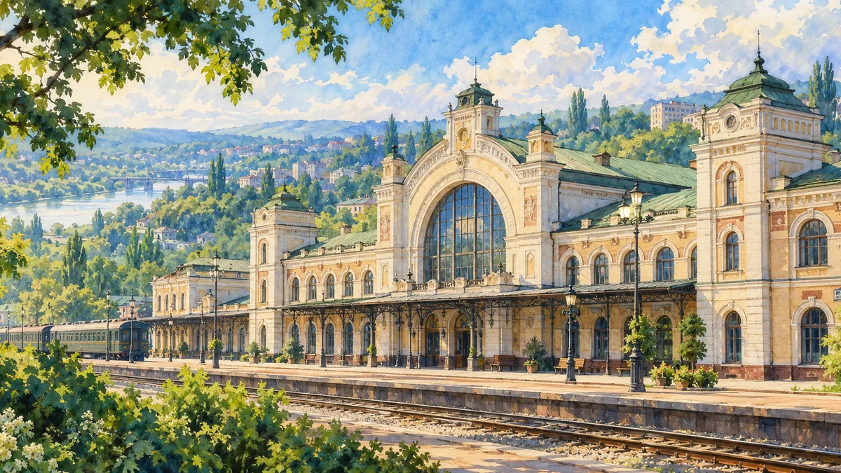
Derkul stud farm, established in the eighteenth century, represents the agricultural side of the region’s heritage. Its historic buildings are a reminder that imperial investment here was not limited to heavy industry. Luhansk city developed around a foundry commissioned in 1795 and operating from 1797 under the direction of Charles Gascoigne. Coal, metalworking and later locomotive production connected the city to a much larger industrial network. Railways carried materials and people, and factory growth reshaped both the economy and the urban landscape. Looking at the stud farm and railway station together reveals two different forms of work that helped define this part of Ukraine.
Remembering a complex region
The twentieth century brought further industrial expansion, new urban districts and major changes in administration. Luhansk city was repeatedly renamed Voroshylovhrad during the Soviet period before its historical name was restored. Its factories, educational institutions and cultural organizations served communities across the surrounding region. War beginning in 2014 forced the Ukrainian regional administration to move from Luhansk to Sievierodonetsk; the full-scale invasion later brought further destruction and displacement. This page focuses on geography and historical heritage rather than a changing front line. The illustrations preserve recognizable places and landscapes as learning references, without suggesting that buildings remain undamaged or that access is currently possible.
Historical sources & artwork notes
Watercolor heritage illustrations interpret these places; they are not photographs or a record of their present condition.