Cherkasy Oblast — History and Landmarks
Черкаська область
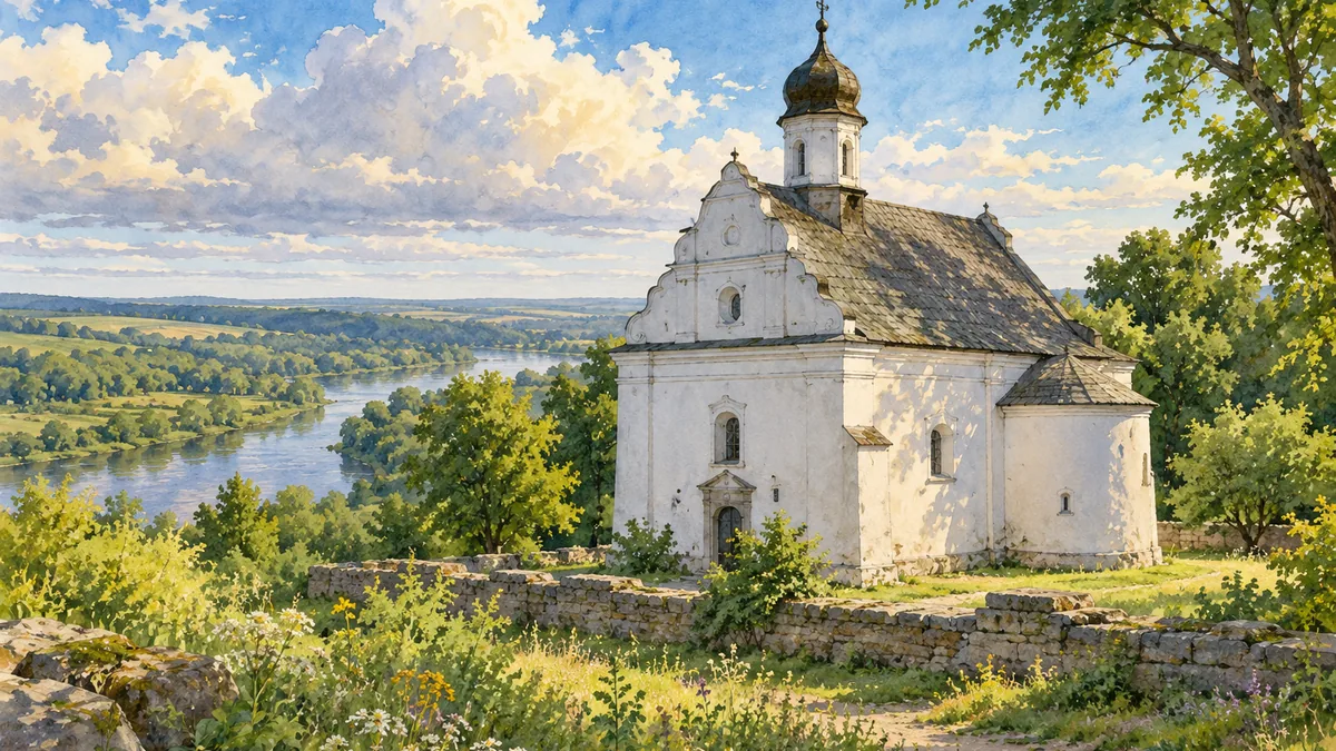
AI-generated watercolor interpretations of real places · AI-generated watercolor heritage illustrations interpret these places; they are not photographs or a record of present-day conditions.
The middle Dnipro landscape
Cherkasy Oblast stretches across both banks of the Dnipro in central Ukraine. The modern oblast was created in 1954 from parts of neighbouring regions, but its towns and landscapes carry much older histories. River crossings, cultivated land and wooded uplands have all shaped settlement. The oblast is a useful example of why administrative dates and cultural history should be kept distinct: a recently drawn boundary can contain places with centuries of memory. Kaniv’s high riverbanks, the landscapes around Chyhyryn and the city of Uman introduce different sides of the same modern region. Together they offer a richer picture than the regional capital alone.

Chyhyryn, Subotiv and Cossack government
Chyhyryn became the residence of Bohdan Khmelnytskyi and a capital of the Cossack Hetmanate in the seventeenth century. Political leadership, military organization and diplomatic negotiations gave the town significance far beyond its size. Later conflict, destruction and the movement of the capital changed its position. Some buildings disappeared, while others have been studied or reconstructed as part of historical preservation. Nearby Subotiv is closely connected with Khmelnytskyi’s family and memory. Its compact Saint Elijah Church provides a distinctive landmark for the region. These places are best read together: architecture, landscape and reconstructed sites each preserve different kinds of evidence about the Cossack period.
Gardens and places of remembrance
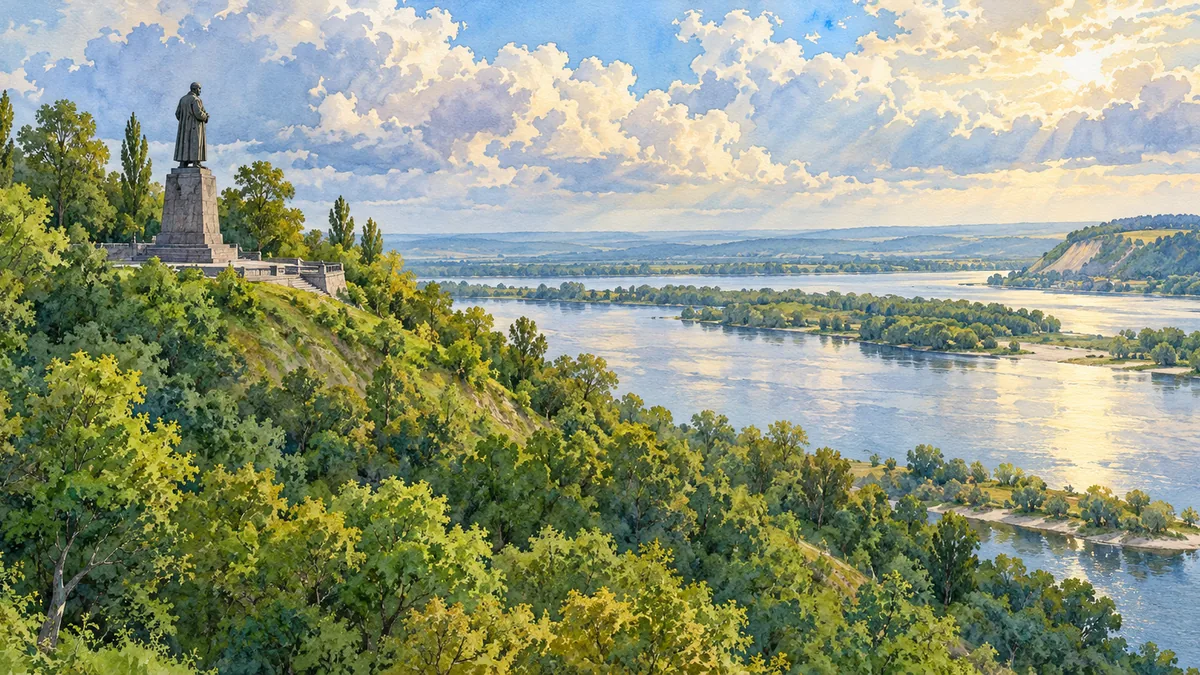
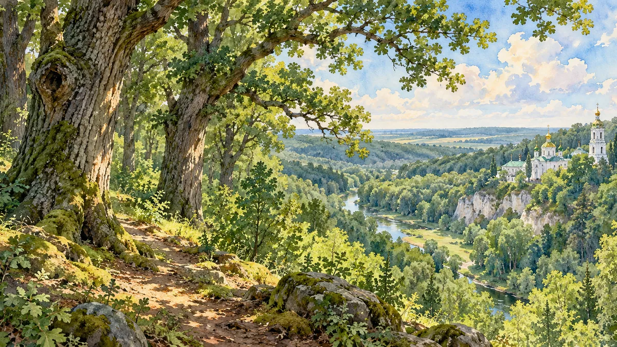
Cherkasy Oblast also includes landscapes shaped for reflection and remembrance. Sofiyivka in Uman is a designed park, where water, trees, paths and architectural features create carefully composed views. It represents a different kind of historical landscape from a fortified hill or a river settlement. Around Kaniv, associations with Taras Shevchenko give the Dnipro hills a strong place in Ukrainian cultural memory. The woodland of Kholodnyi Yar adds another visual contrast. These settings show how landscape can hold several meanings at once: habitat, cultivated ground, designed scenery and a place through which people remember the past. The watercolor scenes emphasize those differences without replacing the historical account.
Historical sources & artwork notes
AI-generated watercolor heritage illustrations interpret these places; they are not photographs or a record of present-day conditions.