Sumy Oblast — History and Landmarks
Сумська область
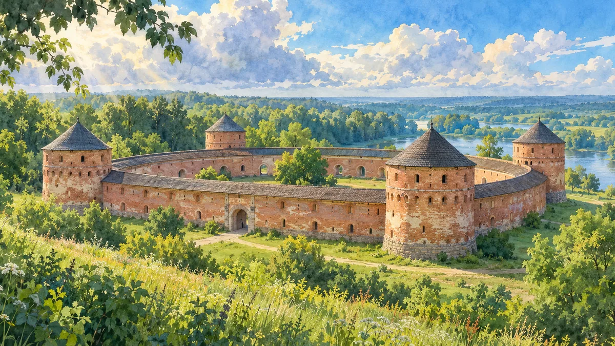
AI-generated watercolor interpretations of real places · AI-generated watercolor heritage illustrations interpret these places; they are not photographs or a record of present-day conditions.
A meeting of historical regions
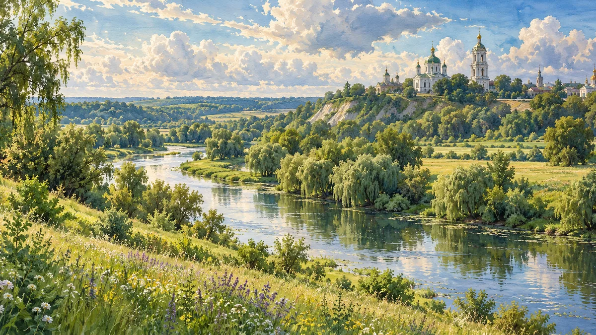
Sumy Oblast brings together places with different historical connections. Some belong to the story of Slobidska Ukraine, while others are closely linked to the Cossack Hetmanate and the older northern lands. Sumy city grew as a Cossack settlement and became the centre of the Sumy regiment. Its role changed with the replacement of regimental institutions by imperial administration. The city became an oblast centre in 1939. This sequence helps explain why a modern regional name can cover several historical landscapes. Rivers such as the Psel and wooded agricultural country provide the setting in which these towns, institutions and communities developed over many generations.
Hlukhiv and the Hetmanate
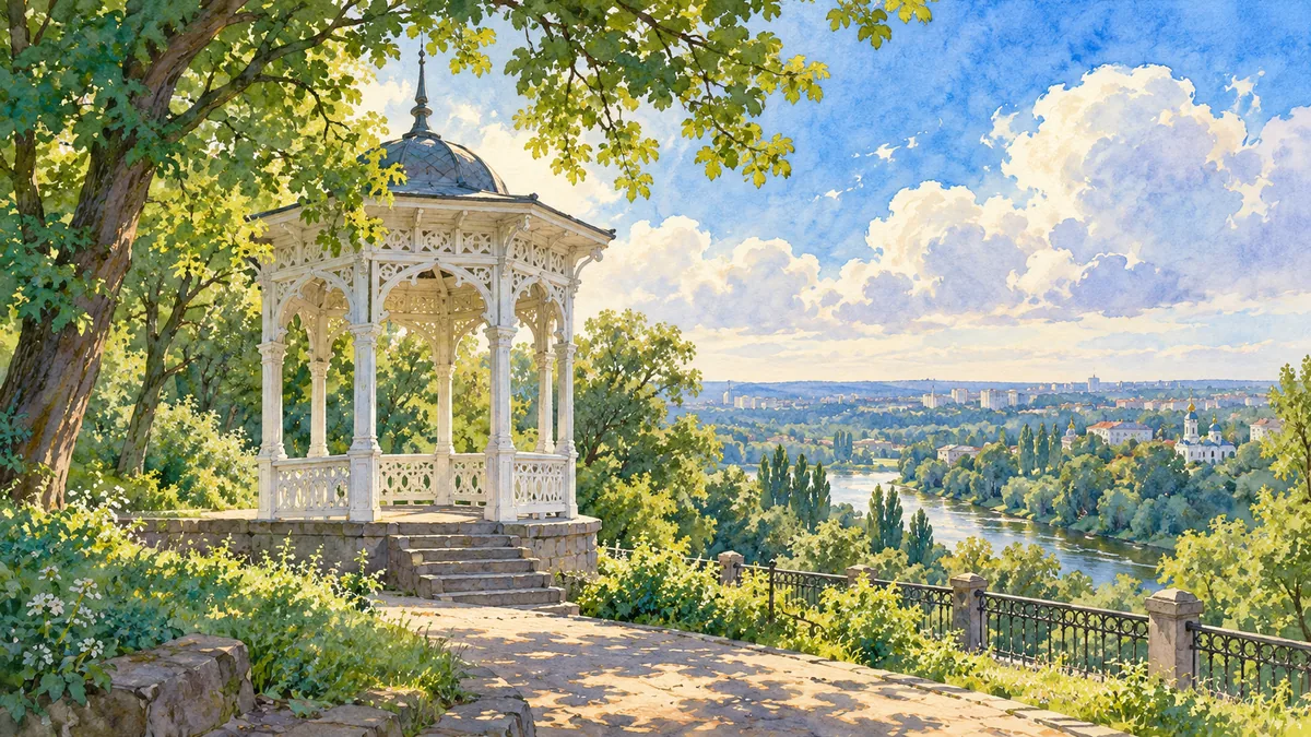
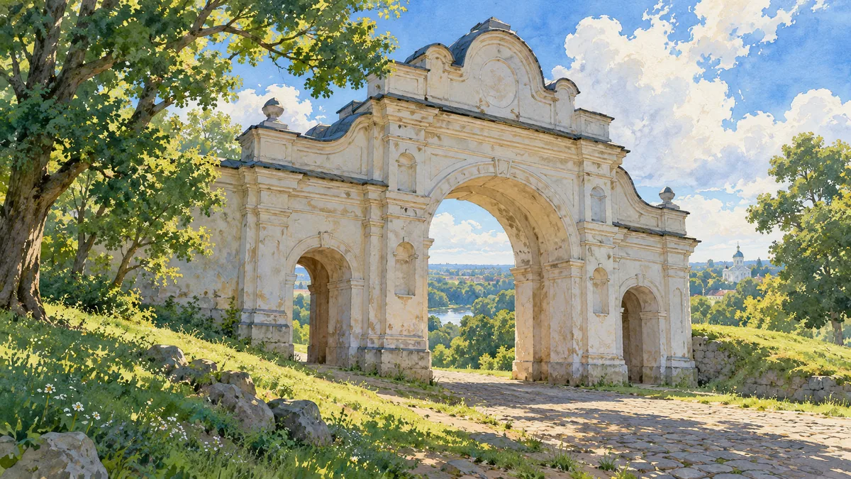
Hlukhiv became especially important after the destruction of Baturyn. It served as a capital of the Left-Bank hetmans during periods of the eighteenth century, bringing political administration and cultural activity to the town. The surviving historical landscape includes buildings and gateways that help introduce this era, although no single structure can explain the entire political system. Hlukhiv’s story also reflects the progressive restriction and eventual abolition of Cossack autonomy. Reading it alongside Sumy’s regimental past reveals both shared Cossack connections and local differences. It is a useful reminder that the word “region” can refer to administrative, geographical and historical relationships that do not coincide exactly.
Trostianets and everyday cultural landscapes
Trostianets adds another layer to the regional portrait. Its older estate buildings and the unusual Round Court create a different visual impression from a regimental town or former hetman capital. The settlement’s history passed through changing county and provincial administrations, and it is also associated with the writer Mykola Khvylovyi. Landscapes around the Psel and small-town parks help place these architectural and literary associations in a wider setting. The illustrations on this page are cultural interpretations of recognizable places, rather than a statement about their current condition. Together, Sumy, Hlukhiv and Trostianets make the oblast easier to remember as a collection of communities with distinct histories.
Historical sources & artwork notes
AI-generated watercolor heritage illustrations interpret these places; they are not photographs or a record of present-day conditions.