Poltava Oblast — History and Landmarks
Полтавська область
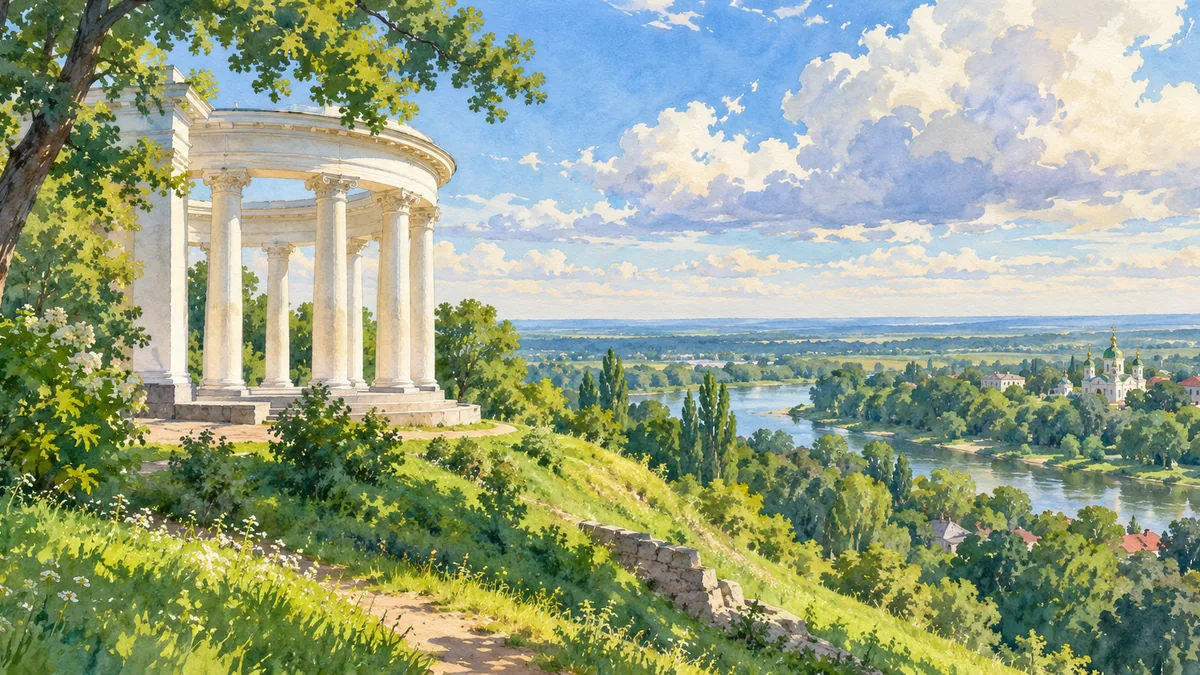
AI-generated watercolor interpretations of real places · AI-generated watercolor heritage illustrations interpret these places; they are not photographs or a record of present-day conditions.
The forest-steppe and the Left Bank
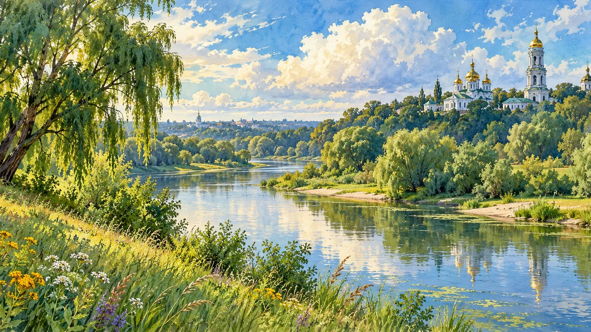
Poltava Oblast occupies part of Ukraine’s forest-steppe, where river valleys and farmland have long supported settlement. The historical Poltava region was not identical to today’s administrative unit: at different times it included lands now assigned to several neighbouring oblasts. This distinction matters when reading older maps or biographies. The Vorskla, Psel and other rivers form a useful geographical framework for understanding the area. Towns and villages developed within this network rather than in isolation. The countryside is therefore part of the historical story, not simply a background to the city of Poltava or to the political events most often associated with its name.
A region of Cossack and cultural memory
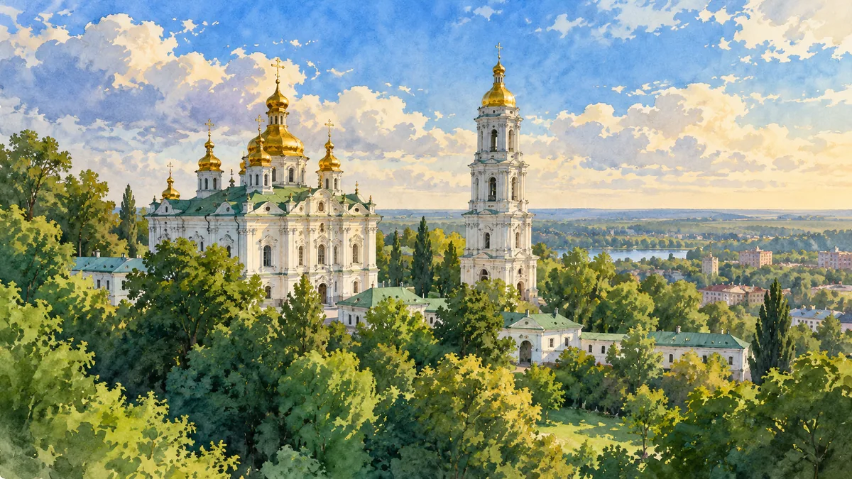
The Poltava region is closely associated with Left-Bank Ukraine and the Cossack Hetmanate. Later imperial administrative divisions reorganized these lands, while local settlement and cultural life continued to develop. Poltava’s surviving churches, public buildings and hillside views offer several ways to approach that history. A single monument or battle cannot represent every period of a region’s past. Looking at the city together with smaller towns makes room for education, literature, religious life and farming communities. The White Rotunda provides a recognizable visual anchor for this page, while the Vorskla landscape connects that urban symbol with the broader terrain in which the region’s history unfolded.
Opishnia and the life of clay
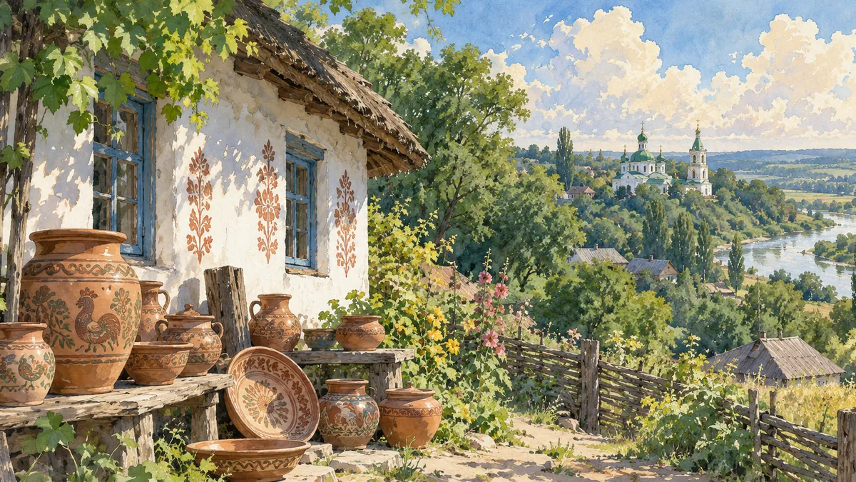
Opishnia is particularly associated with Ukrainian pottery. Its ceramic traditions connect local materials, household needs and artistic skill, and its museum collections help preserve the work of generations of makers. Pots, bowls and other vessels carry history at an everyday scale: they were formed by hands, used in homes and traded between communities. Decorative techniques and changing forms show that folk art is a continuing practice rather than a frozen image of the past. Including Opishnia beside Poltava’s architecture broadens the regional portrait. A painted cottage and earthenware vessels can introduce a learner to the same oblast through craft, domestic life and the transmission of knowledge.
Historical sources & artwork notes
AI-generated watercolor heritage illustrations interpret these places; they are not photographs or a record of present-day conditions.