Ternopil Oblast — History and Landmarks
Тернопільська область
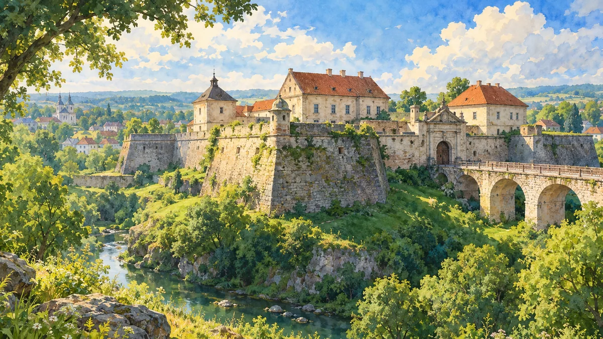
AI-generated watercolor interpretations of real places · AI-generated watercolor heritage illustrations interpret these places; they are not photographs or a record of present-day conditions.
At the meeting of historical regions
Ternopil Oblast brings together landscapes associated with Podilia, Galicia and, in its north, Volhynia. These are historical and geographical regions rather than interchangeable administrative names. The modern capital developed beside the Seret River around a sixteenth-century fortified settlement. In 1540 Jan Tarnowski established the fortress from which the town grew; trading and manufacturing continued despite repeated attacks. The city later came under Habsburg rule and became an important centre of Ukrainian civic activity. Its location between larger centres did not make it merely peripheral. Local schools, associations, printing and commerce helped connect regional life with wider cultural and political movements across western Ukraine.
Zbarazh and the age of fortifications
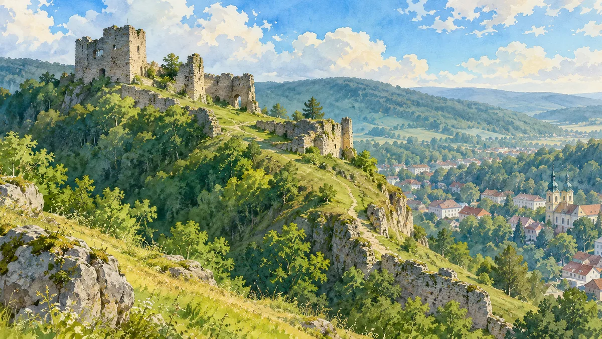
Zbarazh Castle provides the main landmark for this page. Its seventeenth-century fortifications belong to a landscape shaped by conflict between armies, rulers and competing political projects. The town is strongly associated with the Cossack-Polish War and the siege of 1649. The castle’s formal palace building and angular defensive works show how residence and military protection could be combined. Nearby older remains at Staryi Zbarazh add another layer rather than representing the same building. Looking closely at these distinctions matters: names can persist while settlements move, defences are replaced and the appearance of a site changes. A single painting is an introduction to this process, not a reconstruction of every stage.
Sacred hills, river bends and political change
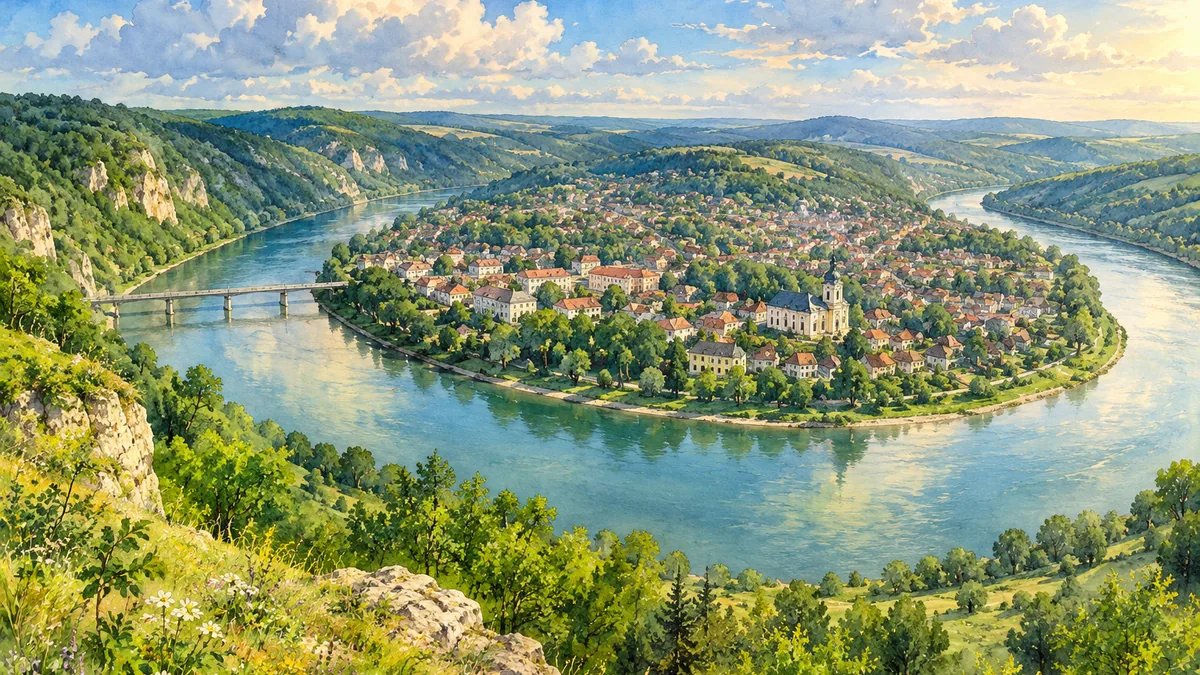
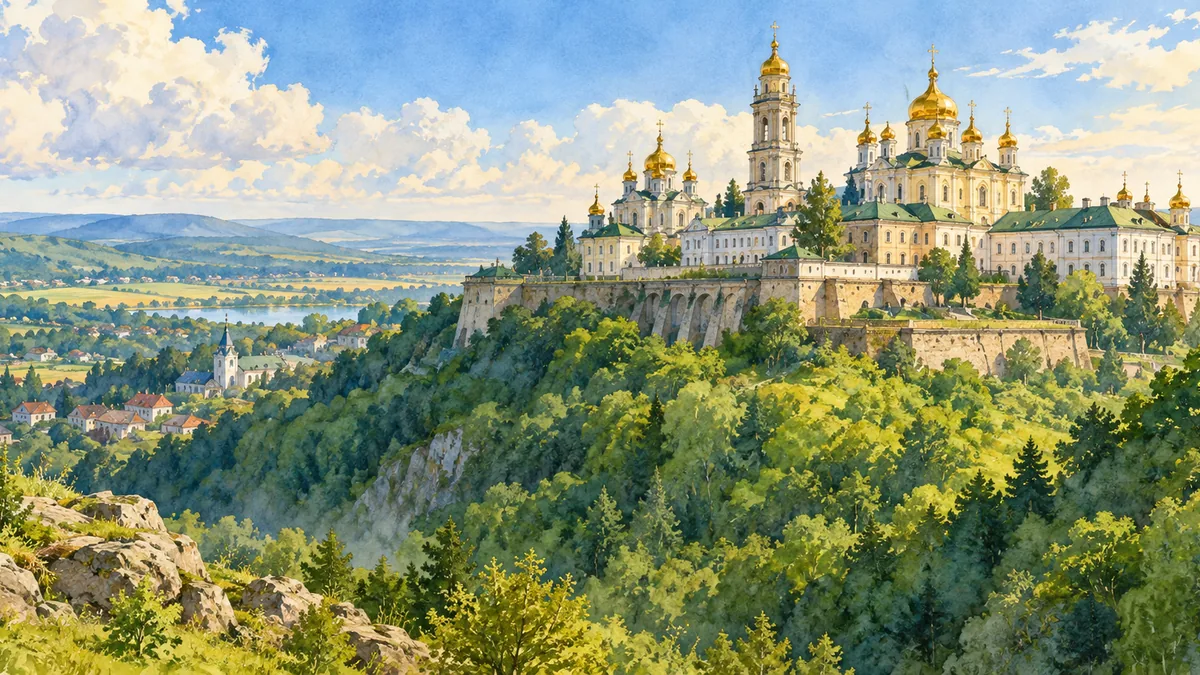
The Dnister bend around Zalishchyky gives the southern part of the oblast a dramatic landscape image. Farther north, Pochaiv Lavra and Kremenets Castle Hill offer very different relationships between architecture, elevation and town life. Together they show why Ternopil Oblast cannot be represented fully by the regional capital alone. In the aftermath of the First World War, Ternopil briefly served as a provisional capital of the Western Ukrainian National Republic. Interwar Polish rule was followed by Soviet annexation and the devastation of the Second World War. Buildings were damaged, communities destroyed and populations displaced. The surviving landmarks therefore belong to a history of change and reconstruction as well as artistic achievement.
Historical sources & artwork notes
AI-generated watercolor heritage illustrations interpret these places; they are not photographs or a record of present-day conditions.