Ivano-Frankivsk Oblast — History and Landmarks
Івано-Франківська область
AI-generated watercolor interpretations of real places · AI-generated watercolor heritage illustrations interpret these places; they are not photographs or a record of present-day conditions.
From Halych to the mountain valleys
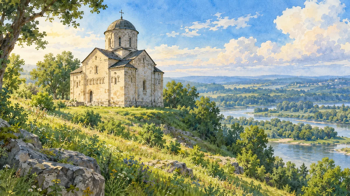
Ivano-Frankivsk Oblast brings together foothills, river valleys and some of the best-known landscapes of the Ukrainian Carpathians. Its history reaches beyond the modern regional capital to Halych, a centre of the medieval principality that gave Galicia its name. The Church of Saint Panteleimon near Halych is a surviving architectural link with that early period. Its restrained stone form offers a different image from the later churches and urban buildings elsewhere in the oblast. The modern administrative region contains several historical and cultural landscapes, including areas associated with Pokutia and Hutsul traditions. These identities overlap; none is simply another name for the entire oblast.
A later capital and changing governments
The city now called Ivano-Frankivsk was known for centuries as Stanyslaviv or Stanislav. It developed as a fortified town in the seventeenth century and became an important urban centre in Galicia. Its history includes Polish-Lithuanian rule, the Habsburg period, the brief Western Ukrainian National Republic and interwar Poland. Soviet annexation in 1939 established the oblast under its earlier name; the city and region were renamed for the writer Ivan Franko in 1962. The change of name is a useful language-learning detail, because older maps and family records may use a different form. Modern names help navigation, while historical names reveal the period in which a source was created.
Water, wood and mountain culture
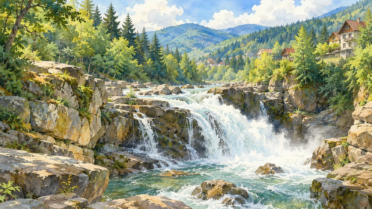
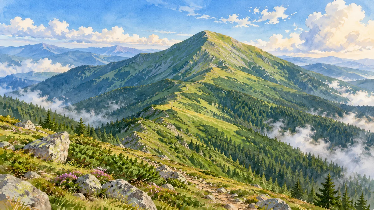
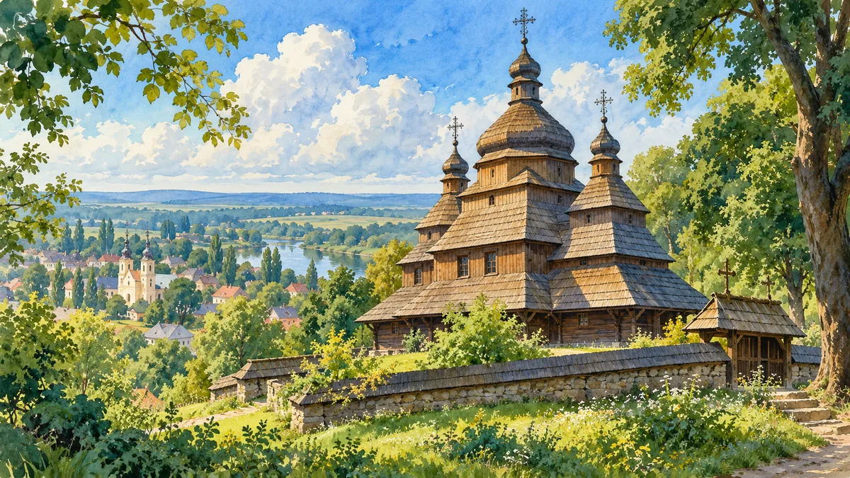
The Prut River at Yaremche, the high landscape around Hoverla and the wooden Holy Spirit Church in Rohatyn provide three different ways into the region. A waterfall makes the force of the mountain rivers visible; a broad ridge shows the scale of the Carpathians; a timber church connects natural materials with religious and artistic tradition. Rohatyn’s church belongs to the UNESCO-listed Carpathian wooden tserkvas. These places should not be treated as interchangeable mountain scenery. Each has its own location and cultural setting. Their juxtaposition helps explain why the oblast is remembered not just for its administrative capital, but also for local craftsmanship, sacred architecture and the varied environments in which communities have lived.
Historical sources & artwork notes
AI-generated watercolor heritage illustrations interpret these places; they are not photographs or a record of present-day conditions.