Zakarpattia Oblast — History and Landmarks
Закарпатська область
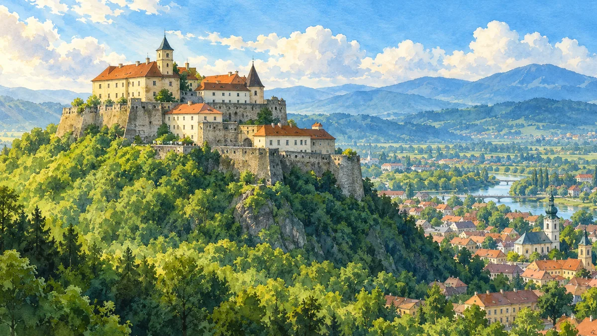
AI-generated watercolor interpretations of real places · AI-generated watercolor heritage illustrations interpret these places; they are not photographs or a record of present-day conditions.
Beyond the Carpathian ridge
Zakarpattia, often called Transcarpathia in English, lies on the southwestern side of the Carpathian Mountains. Its valleys open towards the Pannonian Basin, giving it a historical orientation distinct from regions on the northeastern side of the mountain chain. Much of the territory spent centuries within the Kingdom of Hungary and later the Habsburg realm. After the First World War, most of it became part of Czechoslovakia as Subcarpathian Ruthenia. The dramatic changes around the Second World War were followed by incorporation into Soviet Ukraine. The modern oblast is therefore a useful reminder that Ukraine’s regions arrived at their present boundaries through different historical routes.

Palanok and the towns of the lowlands
Palanok Castle rises above Mukachevo on an isolated hill, making its relationship to the surrounding town immediately visible. The fortress was rebuilt and adapted across different periods; its layered defences express the strategic importance of this meeting point between routes through the mountains and the lowlands. Mukachevo became a trading and religious centre, while Uzhhorod developed into the regional administrative capital. Both towns carry the histories of Ukrainian, Hungarian, Jewish and other communities. Their architecture should be read as evidence of those overlapping experiences. A castle does not tell the whole story of a city, but it offers a strong starting point for understanding why the location mattered.
Forests and wooden architecture
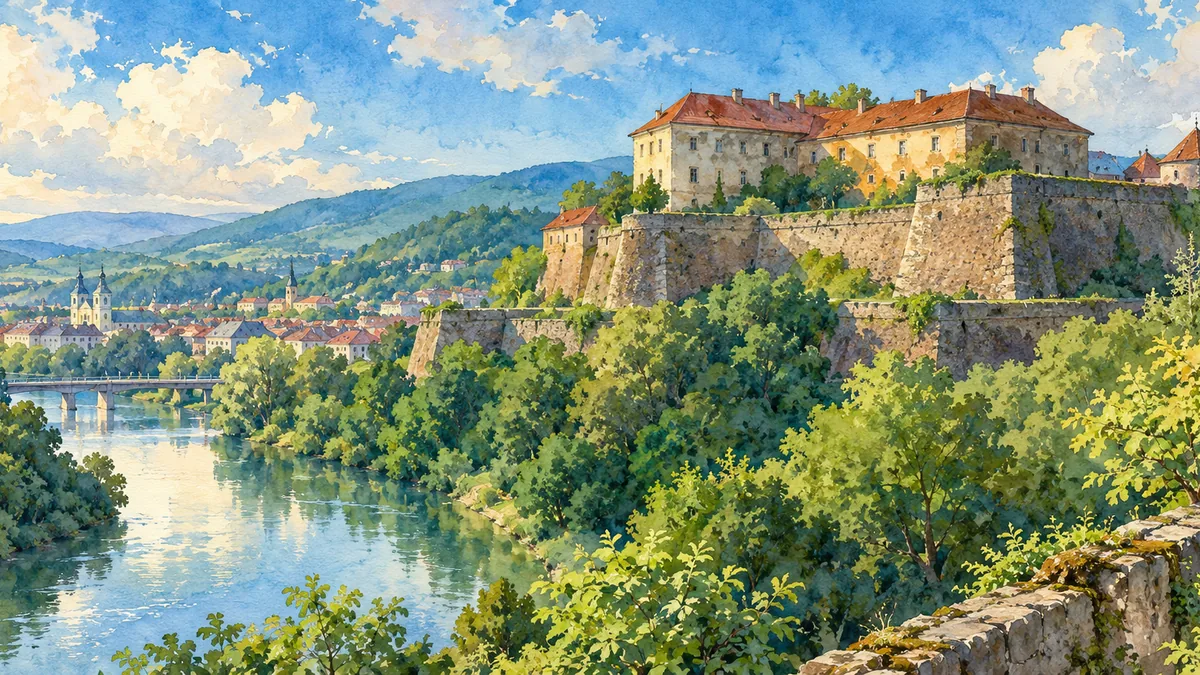
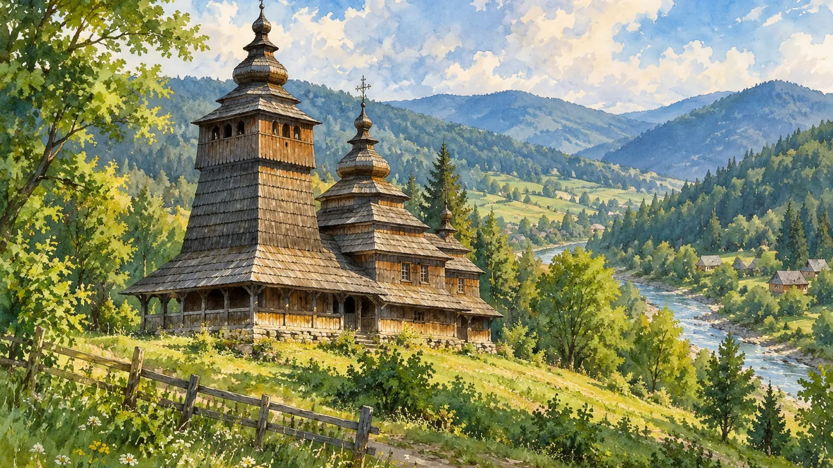
Lake Synevyr introduces the mountain environment: dense forest, steep slopes and water enclosed by ridges. The wooden church at Uzhok offers a different connection between landscape and human history. It is one of the Carpathian tserkvas included in the UNESCO World Heritage property shared by Ukraine and Poland. Timber construction, steep roofs and the church’s compact form reflect a regional building tradition rather than a smaller imitation of a stone cathedral. Together, the lake, Uzhhorod Castle and Uzhok church show three distinct aspects of Zakarpattia. The scenic paintings are interpretations of real places, intended to support recognition and curiosity while leaving room for the much more complex history behind each view.
Historical sources & artwork notes
AI-generated watercolor heritage illustrations interpret these places; they are not photographs or a record of present-day conditions.