Zhytomyr Oblast — History and Landmarks
Житомирська область
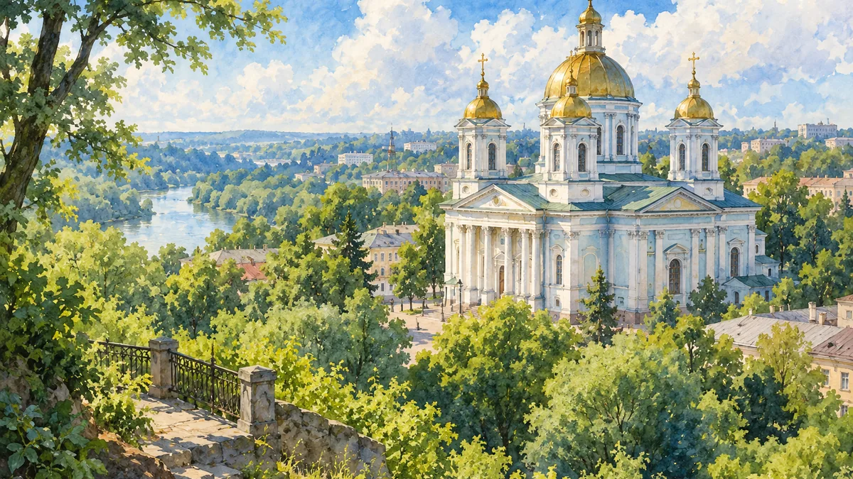
AI-generated watercolor interpretations of real places · AI-generated watercolor heritage illustrations interpret these places; they are not photographs or a record of present-day conditions.
A meeting of rivers and historical regions
Zhytomyr Oblast lies between the wooded landscapes of Polisia and the wider historical world of Volhynia. Those cultural and geographical names do not match the modern administrative boundary exactly. The Teteriv River and its granite banks give Zhytomyr a distinctive setting: ancient-looking rock outcrops stand close to the city, while forest and river corridors extend into the surrounding countryside. Zhytomyr developed under Lithuanian and then Polish-Lithuanian rule before passing to the Russian Empire in 1793. Its later role as the centre of Volhynia gubernia explains why an older map of Volhynia can look quite different from a present-day map of Volyn Oblast.

From provincial centre to modern city
In the nineteenth century Zhytomyr expanded as an administrative, manufacturing and trading centre. Schools, religious institutions, a library, a theatre and a museum contributed to urban life, while railway connections gradually linked it more closely to neighbouring towns. Its population included substantial Jewish and Polish communities as well as Ukrainians and Russians. The Transfiguration Cathedral belongs to the city’s nineteenth-century architectural landscape and provides a recognizable image of that period. In early 1918 Zhytomyr briefly hosted the government of the Ukrainian National Republic. This episode places the city within the wider struggle for Ukrainian independence, rather than treating it only as a provincial stop between larger capitals.
Reading the landscape beyond Zhytomyr
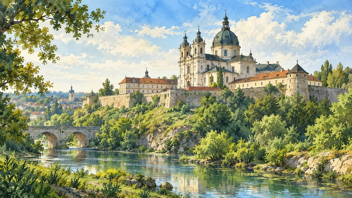
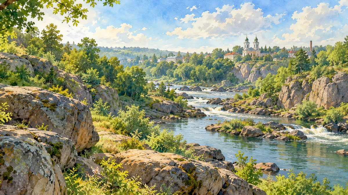
The oblast’s history becomes richer when the view moves beyond the regional capital. Berdychiv’s fortified Carmelite monastery expresses the long importance of religious institutions and the coexistence of different communities in the area. Korosten’s river and granite landscape offers a contrasting visual introduction to the north. These scenes are useful companions to the Teteriv cliffs because they show that stone, water and wooded ground recur across the region in different forms. The Second World War brought occupation, destruction and the murder of Jewish communities. Postwar rebuilding and industrial development changed many towns again. Today’s buildings and landscapes therefore contain traces of several periods, rather than providing an untouched picture of one historical moment.
Historical sources & artwork notes
AI-generated watercolor heritage illustrations interpret these places; they are not photographs or a record of present-day conditions.